Experiences

Outdoor Adventures

The perfect time to get outdoors in Colorado is all the time. No matter the season, our mountains, wilderness areas and other public lands beckon those looking for unparalleled scenic beauty and perhaps a little adventure.


History & Heritage
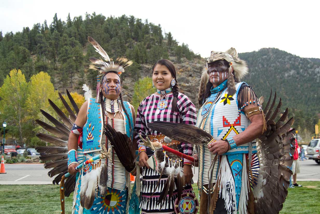
Some of the best things to do on a Colorado vacation revolve around its ancient and historic past.


Local Flavors

Fresh, innovative cuisine is no passing fad in Colorado. Drawing upon our natural treasures gets many chefs in Colorado restaurants excited about crafting menus here.


Relax & Recharge

Make time to treat yourself with a little rest and rejuvenation at these uniquely Colorado wellness destinations.


Family Friendly

Colorado has more than its share of stunning natural attractions, but sometimes the kids are eager for things to do that don’t involve mountain vistas and scenic drives.


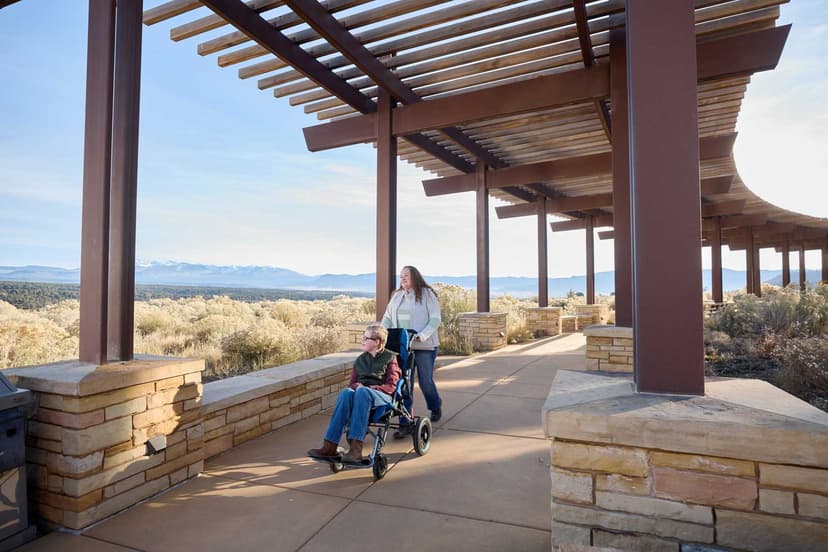
Accessibility

Take a look at just a handful of the adventures waiting for you with these adaptive experiences, many of which have outfitters that offer special activities or packages for veterans and first responders.


Visitors Guide

Sponsored