Cuchara
Cuchara is classic Colorado — where snowcapped mountains meet lush green fields and rushing rivers.
Sponsored
Cuchara is classic Colorado — where snowcapped mountains meet lush green fields and rushing rivers.

Tucked in the eastern shadow of the Sangre de Cristo Mountains, this serene town rests between the rich forests of the San Isabel National Forest and the Cucharas River, which cuts right through town. The National Forest offers more than one million acres of Colorado's finest scenery.
Cuchara affords splendid views of dramatic West Spanish Peak, one of two geological towers once used as guideposts for traveling American Indians and pioneers. These awesome landmarks are visible up to 100 miles away. Downtown features a few gift shops and several B&Bs, however most amenities are located in Cuchara's sister city, La Veta. Here, visitors can browse co-op shops representing local artists.
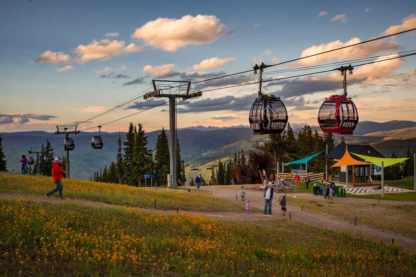
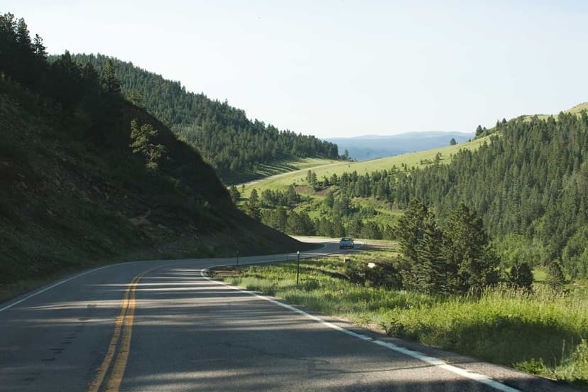
South of town along Colorado 12, part of the scenic Highway of Legends, travelers find stunning views, which top out at the 9,995-foot Cuchara Pass. This drive offers abundant opportunities for hiking, fishing, hunting and camping, especially at North Lake State Wildlife Area and at Monument Lake Park. Cuchara Recreation Area welcomes hikers, hunters, fishers and four-wheelers, and Cuchara Mountain Park is popular in summer for its hiking trails and disc-golf course and in winter for snowshoeing and cross-country skiing.
Sponsored