Things to Do in Poncha Springs
Poncha Pass
Travelers looking for things to do in Poncha Springs often begin with the terrain itself. Poncha Pass is a popular spot for both road cyclists and mountain bikers. Routes deliver sweeping valley views and introduce elevation quickly, providing an exhilarating way to experience a high-country perspective.
O’Haver Lake
In the San Isabel National Forest, O’Haver Lake is a classic mountain retreat framed by ponderosa pine, aspen and views of the Collegiate Peaks. Fish for trout from the shore, cozy up in developed campsites and spend the day unwinding time beside calm near-alpine waters. The setting feels distinctly high country, yet remains close enough to town to make it easy to stock up on supplies or grab a meal.
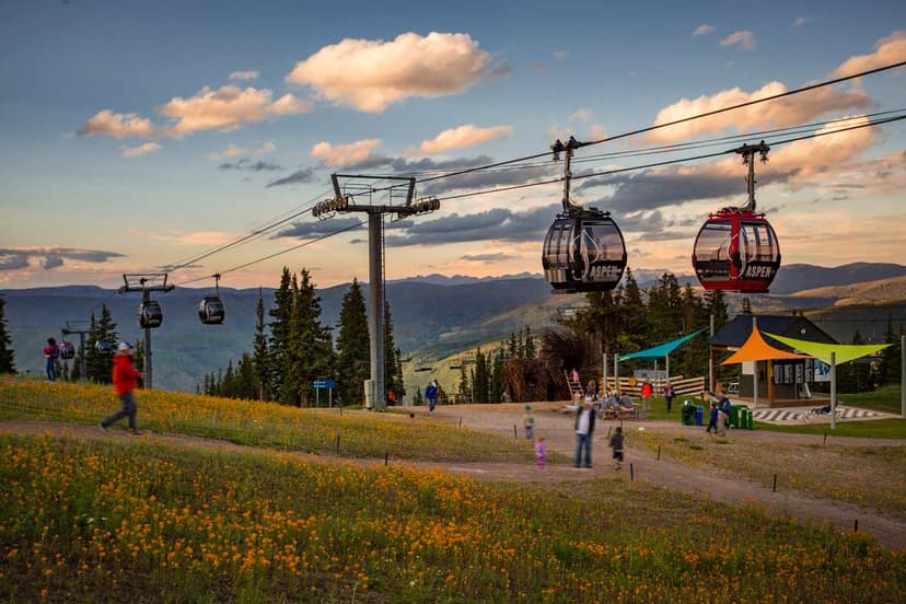
Monarch Mountain
When winter arrives, head to Monarch Mountain for exceptional skiing and snowboarding. Monarch’s proximity to Poncha Springs makes it easy to spend a full day on the slopes before returning to the valley to relax for the evening. That balance between alpine access and convenience is part of what makes Poncha Springs the ideal basecamp for a wide variety of outdoor recreation.
Parks & Disc Golf
In town, Chipeta Park & Courts is a great spot to stretch your legs, play pickleball or enjoy a slower pace between adventures. The Poncha Springs Disc Golf Course packs 18 holes of fun and challenges, with reviewers noting you have to “work for your par.”
A Basecamp With Real Range
The benefits of Poncha Springs’ convenient location don’t stop there. Along with short travel times to mountain drives, alpine lakes and ski terrain, you’ll also be within easy reach of the charismatic city of Salida and town of Buena Vista.
Salida’s Monarch Crest Trail is one of many regional routes locally loved for hiking and mountain biking, perfect for working up a high-altitude sweat. When you’re ready for downtime, sip a craft beer in a laid-back atmosphere at Elevation Beer Company or soak adventure-weary muscles at the city’s Hot Springs Aquatic Center. Not far from Buena Vista, Mount Princeton Hot Springs Resort delivers a larger-scale hot springs setting within a short drive of Pagosa Springs.
Those looking for places to stay in Poncha Springs will find hotels and vacation rentals suited for weekend trips or extended stays. Campground options add another layer if you prefer nights closer to the trees and under the stars.
Discover trip ideas, events and travel planning resources for your Poncha Springs escape