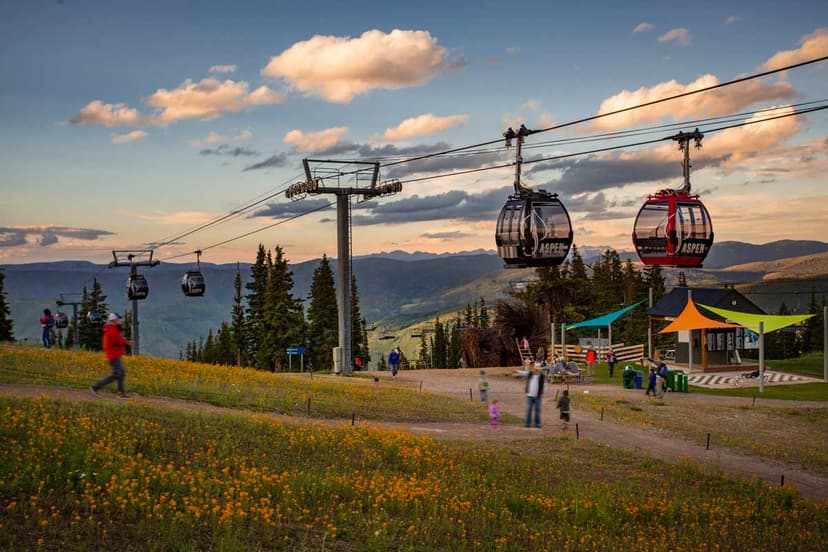
1. Mount Blue Sky Scenic & Historic Byway
As the highest paved road in North America, the Mount Blue Sky Road rises to a height of 14,266 feet above sea level. Begin your trip in the historic mining town of Idaho Springs. From town, travel south on Highway 103 to the junction of Highway 5, the entrance to Mount Blue Sky Road (formerly Mount Evans). Groves of pine trees first greet you on this section, but gradually give way once the timberline is breeched. Riding along the exposed mountainside, you'll get a magnificent view of glacier-cut valleys and a seemingly endless horizon of sharp rocky peaks. Mountain goats and bighorn sheep are often seen grazing roadside. Be aware: The guardrails disappear up here, so caution is advised as you traverse the switchbacks to the top. (Read about other famous Colorado peaks).
Distance: 28 miles (one way)
Route: Idaho Springs to Mount Blue Sky
Travel time: 1 hour
Timed-entry permit: You must have a timed-entry permit before you cruise the byway. Permits are not sold at the gate. Book your Mount Blue Sky timed-entry reservation
2. Trail Ridge Road Scenic & Historic Byway
One of the best ways to see Rocky Mountain National Park is on a motorcycle. Mount Blue Sky Road may be the highest paved road, but Trail Ridge Road scenic and historic byway is the highest paved road in the United States that doesn’t dead-end. The grandeur of rocky peaks and lush blankets of pine trees accompany you through this route. Keep your eyes open for grazing elk, bighorn sheep and other animals — they're common visitors to the roadside and surrounding cliffs. The ride combines straightaways with twists in the road that showcase all aspects of the park's beauty. Tundra with brush no higher than a few feet is a contrast to the granite peaks of the Rockies that loom like immovable giants.
Distance: 48 miles (one way)
Route: Estes Park to Grand Lake
Travel time: 2–3 hours
Timed-entry permit: Timed-entry reservations are required to enter the park during the summer and much of the fall. These are not sold at the gate. Book your Rocky Mountain National Park timed-entry permit
3. Santa Fe Trail Scenic & Historic Byway
The original Santa Fe Trail carried pioneers and traders hundreds of miles over the prairie to points west during the 1800s. The trail is still in use today, but as the Santa Fe Trail scenic and historic byway, taking travelers through a history-laden slice of Colorado. At certain points, you can even see the wagon ruts of original pioneers winding their way through the prairie grasses. This route is almost completely straight and is a relatively easy, though longer, drive. Midway on the trip sits one of Colorado’s most significant and historic treasures, Bent’s Old Fort National Historic Site. Originally built in 1833 as a trading post along the Santa Fe Trail, it became a cultural meeting place. Tip: Check the fort's official website for when it's open while you're planning; its hours can change during different seasons. This route also takes you through the Comanche National Grassland, where the land still grows the original prairie that the pioneers saw when forging through the plains.
Distance: 184 miles (one way)
Route: Trinidad to Lamar
Travel time: 4 hours
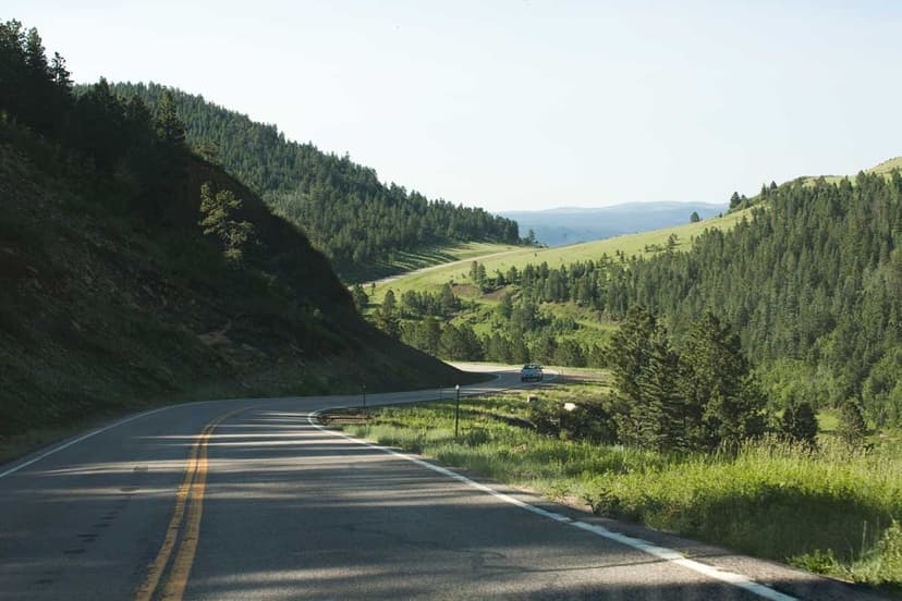
4. San Juan Skyway Scenic & Historic Byway
Mountains here look as if they were painted. Crimsons bleed into purples and grays with vibrancy nearly unmatched by other peaks. The San Juan Skyway traverses multiple mountain passes that each rise more than 11,000 feet above sea level. The towns that you'll pass through on this route are renowned for their history and beauty. Both Telluride and Silverton are rich in mining lore, and Cortez and Mancos stand at the entrance to perhaps the best Ancestral Puebloan site in the nation, Mesa Verde National Park. On the San Juan Skyway you can ride on what’s known in Colorado as the “Million Dollar Highway.” This specific stretch runs from Ouray to Silverton. Sights of Mount Wilson, Mount Eolus and Mount Sneffels — some of the highest mountains in the United States — also showcase their grandeur from roadside vistas.
Distance: 236 miles (loop)
Route: Cortez, Telluride, Placerville, Ridgway, Ouray, Silverton and Durango
Travel time: 6 hours
5. Unaweep/Tabeguache Scenic & Historic Byway
This section of highway played an integral role in World War II: The uranium used in the country’s first atomic bombs was mined near Uravan, the midway point of the Unaweep Tabeguache scenic and historic byway. There’s more history here than just the A-bomb. Precambrian dinosaur and amphibian fossils have been found within the striated red sandstone canyon walls that surround the road. The byway cuts through a canyon for most of the way and follows the Dolores and San Miguel rivers. Through the years, these rivers slowly ate away at the soft sandstone creating the flattop canyon through which you'll ride.
Distance: 133 miles (one way)
Route: Whitewater to Placerville
Travel time: 3 hours