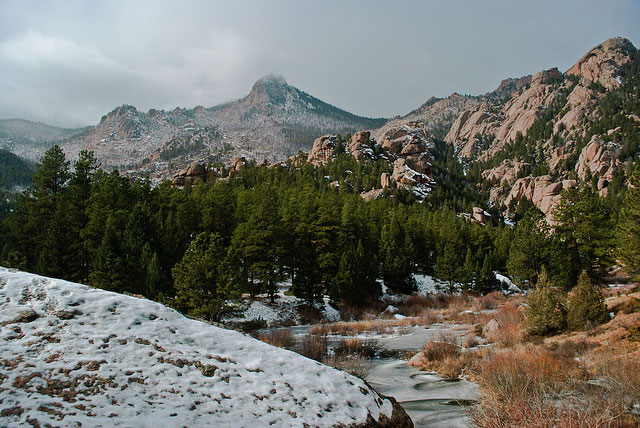
Dense forest lines endless exotic granite domes, knobs and spires dotted with adventurous climbers any day of the week. Horse riding and camping are welcome and enjoy a backdrop of three mountain ranges between 8,000 and 12,400 feet: the Platte River, Kenosha and Tarryall.
With its off-the-beaten-path position, Lost Creek Wilderness offers an intimate visit with nature and frequent peeks at the resident mule deer, elk, bighorn sheep and occasional black bear.
Venture beyond the Lost Park campground and follow the trail around a bend where the rock walls slim and form a spectacular mini-canyon.
Getting There
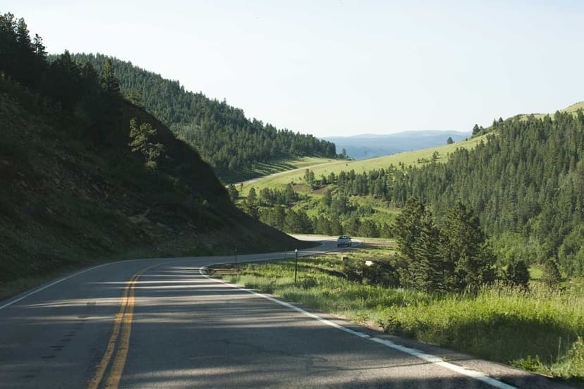
To reach Lost Creek Wilderness, head northeast from Fairplay on Hwy. 285. Turn right onto County Road 56. Continue onto County Road 39/Lost Park Road. Keep left at the fork. Follow signs to the Lost Park campground and trailhead.