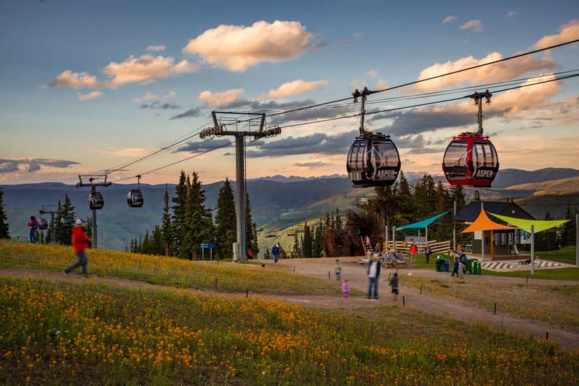
Over eight mountain ranges, along five river systems and traversing six national forests and six wilderness areas, the Colorado Trail is truly a natural wonderland. Each year, additional bridges, switchbacks and markings are added, making the trail more and more accessible to backpackers and hikers.
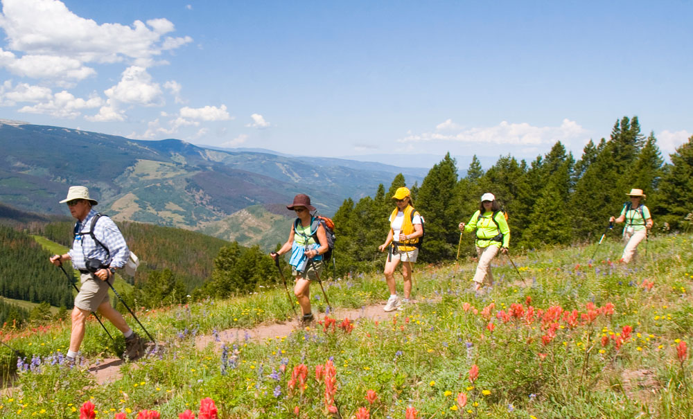
However, because of its length, altitude — and in many places, sheer ruggedness — the Colorado Trail can be hard to get your hands around at first. It can take four to six weeks to hike the whole thing, but you can hike it in smaller segments.
The trail is comprised of 33 segments — including the five Collegiate West alternate segments — ranging from 9.8 miles to 32.9 miles. Elevation gains along segments span from 1,447 to 6,122 feet. Looking at length and elevation gain is a good way to gauge each segment's difficulty. Here are some popular segments throughout the state:
Segment #1: Waterton Canyon to South Platte River
Many consider the first part of this scenic segment near Denver to be accessible, and there's even an accessible fishing pier 1.5-miles in on the trail. You will need to check trail conditions, though, because the road can become snowy or muddy. The first 6 miles climb gradually along a well-maintained, hard-packed dirt road, then turn onto rolling and climbing singletrack trail. This segment is popular for mountain biking, too. Watch for bighorn sheep, elk and deer. Note: Dogs are not permitted on the first 6 miles of the trail or in Waterton Canyon to protect the sheep habitat.
Stats: 16.8 miles; 2,830-foot elevation gain
Access: From Denver, go south on Wadsworth Boulevard past Chatfield State Park. Turn left on Waterton Road (just before the entrance to Lockheed Martin) and drive to the second parking area on the left, which is directly across the street from the trailhead.
Segment #8: Copper Mountain to Tennessee Pass
Take I-70 West from Denver to access several more Colorado Trail trailheads. Look for the Colorado Trail sign in the woods alongside Highway 9. Underneath the Eagle Lift of Copper Mountain resort, look for the white rock with the Colorado Trail blaze. Head up through Copper's cross-country ski trails, past Janet's Cabin (a backcountry hut that you can reserve through the 10th Mountain Division Hut Association), and over two passes. You'll look down at Lake Dillon and settling ponds at Climax near Leadville. The free Summit Stage bus — which runs between Silverthorne, Breckenridge, Frisco, Dillon and Copper — gives you even more flexibility: you can hike farther without doubling back.
Stats: 25.4 miles; 4,417-foot elevation gain
Access: From Denver, take I-70 west past Frisco toward Copper Mountain resort. The trailhead will be about 1 mile down on Highway 91 S.