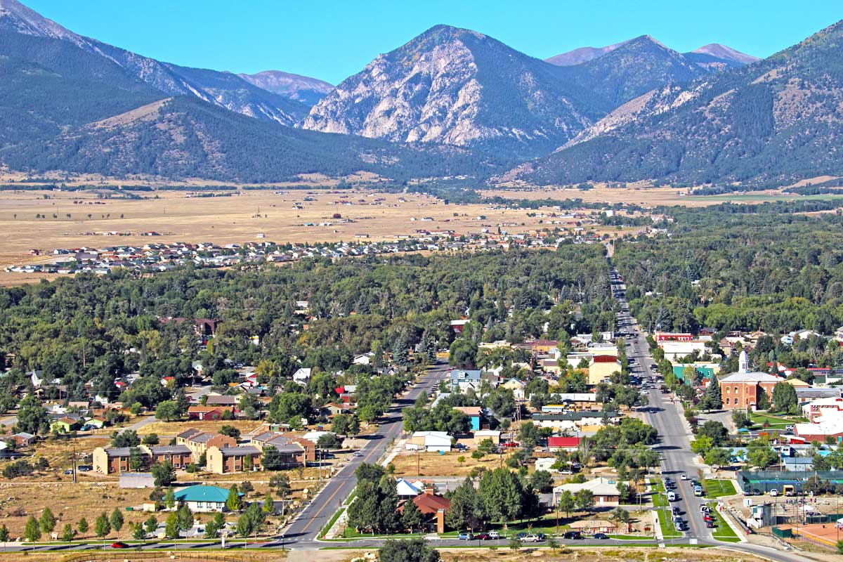
Things to Do in Buena Vista
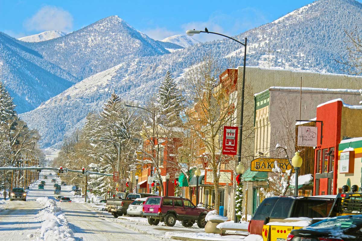
Winter Activities
Monarch Mountain’s No Name Basin presents a worthy challenge for skiers, with 377 acres of soft powder straddling the Continental Divide. This basin serves up a less-crowded environment and a peaceful escape for skiers looking to savor the mountain at their own pace.
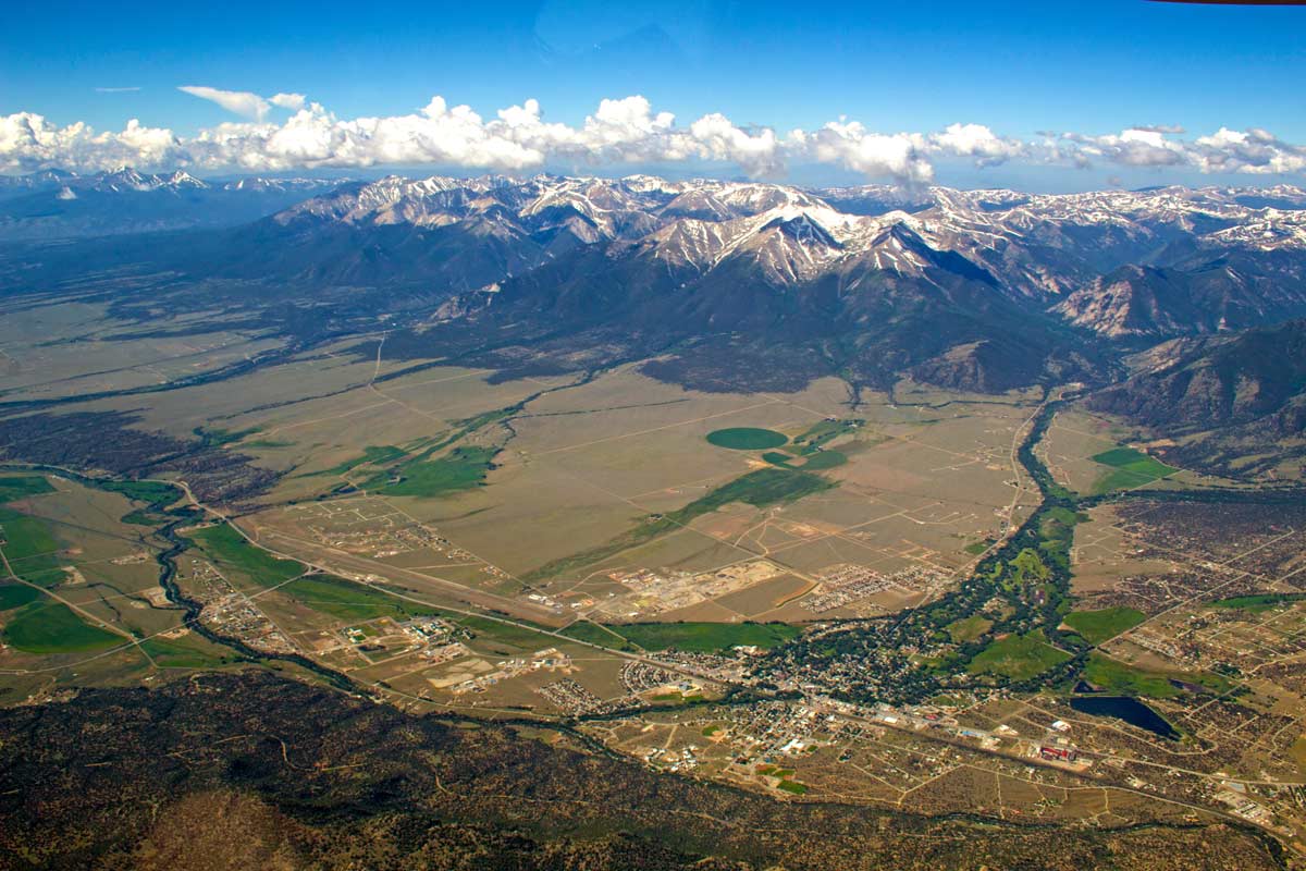
You can also explore the backcountry trails by snowmobiling, cross-country skiing or snowshoeing. The small mountain valleys north and west of the Arkansas River, which flows directly through Buena Vista, are ideal for these excursions. Routes include Denny Creek to Hartenstein Lake, Graham Gulch and Waterdog Lakes.
Mountain Biking & Off-Roading
Buena Vista is the place for off-roading and mountain biking. For mountain biking, look to the scenic Midland Trail and Whipple Trail systems. There are also miles of paved mountain passes to traverse, delivering stunning views of the Sawatch Range.
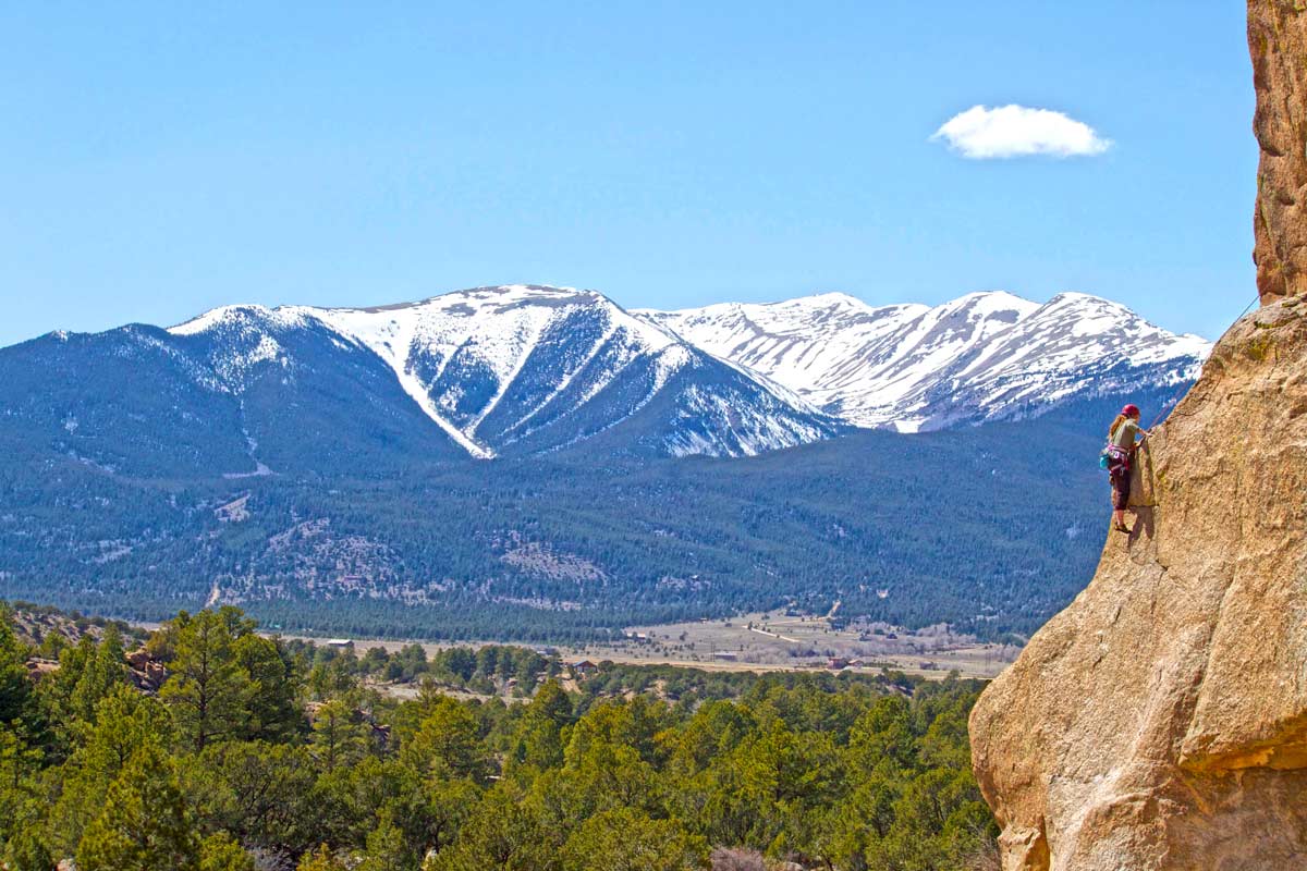
Hiking
With hundreds of miles of hiking trails in the region, there’s something for visitors of every ability to tackle. Summit Mount Princeton or take the moderately difficult Lost Lake Trail for a more relaxing trek.
Whitewater Rafting & Fishing
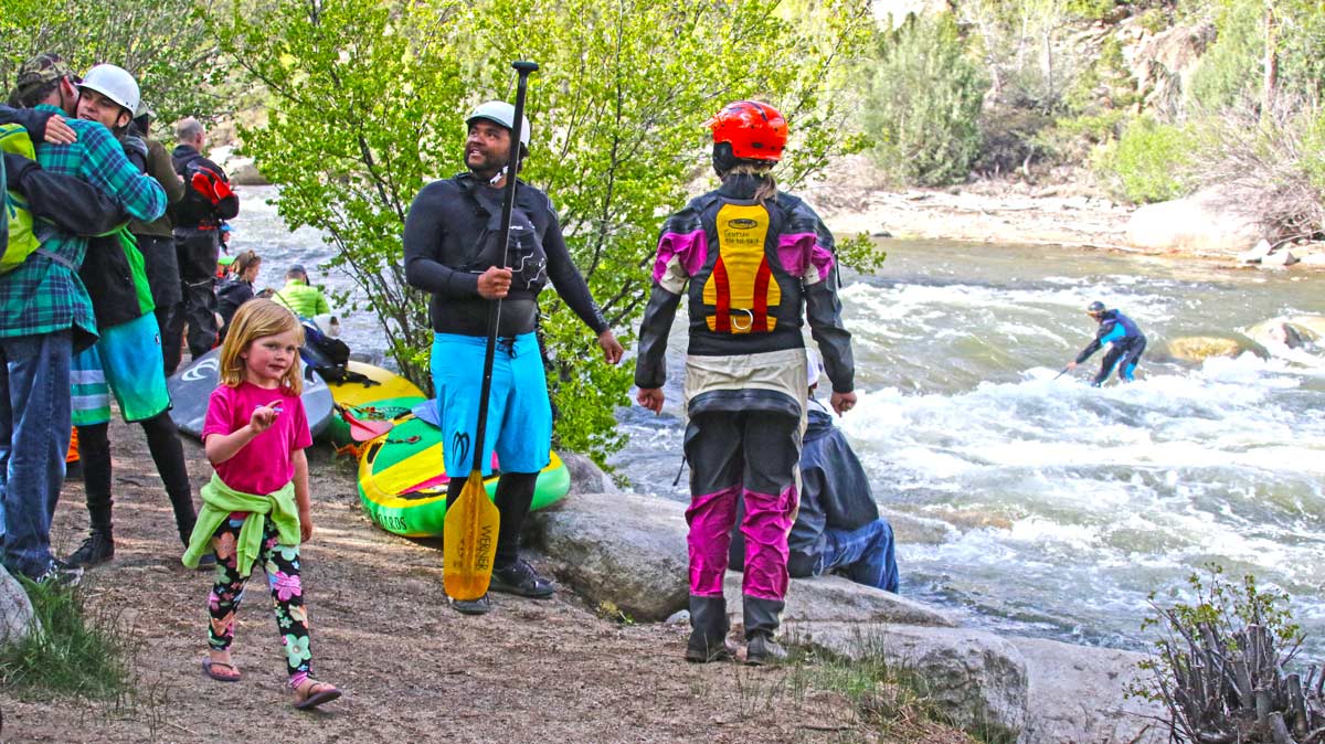
The Arkansas River lays claim to some of the best rafting and fishing in the country. Outfitters can get you on the river's whitewater pumps, bumps and rollers, as well as guide you to the best hidden fishing holes, tailoring the experience to everyone in your family.
For other ways to stay cool, check out Buena Vista’s whitewater park, the largest in Colorado. Activities include river surfing, kayaking and stand-up paddleboarding.
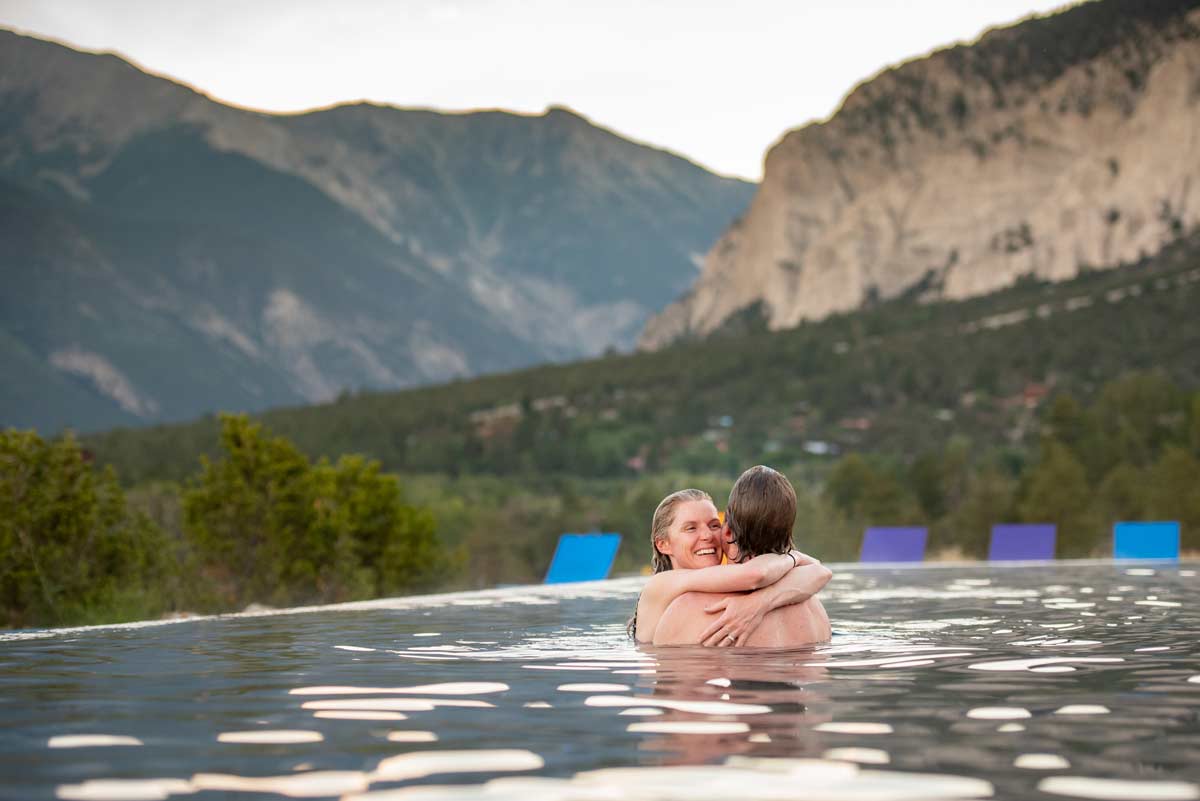
Hot Springs
While visiting one of Buena Vista’s hot springs, you might notice something interesting about them: Many lack the sulfurous smell that mineral waters often have. They’re also among the hottest in the state. Soak up and wind down at Cottonwood Hot Springs Inn & Spa or Charlotte Hot Springs & Botanical Gardens.
Looking for even more hot springs? Check out nearby Mount Princeton Hot Springs Resort and the Salida Hot Springs Aquatic Center.
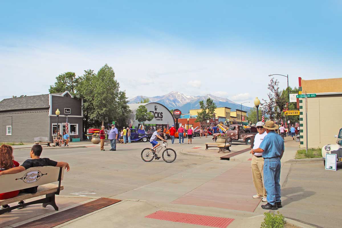
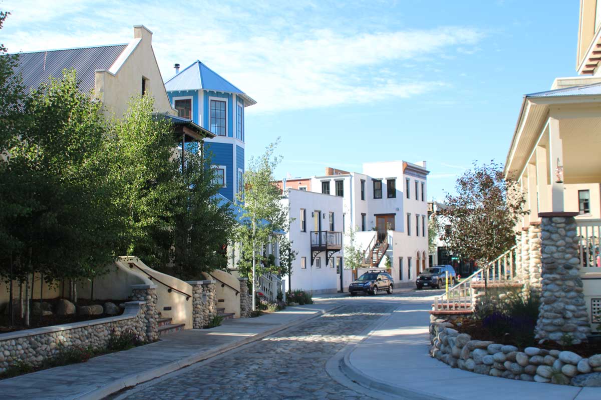
Shopping, Dining, Music & History
Buena Vista features an impressive music scene, boutiques, galleries, libations and restaurants. To dig into some of Buena Vista’s storied history, head to the Buena Vista Heritage Museum — and don’t miss exploring some of the region’s mysterious ghost towns.
Camping & Lodging
When you choose Buena Vista as your basecamp, you’ll always have a fantastic view. Lodging options suit every travel style, from upscale hotels to campgrounds, so you’re sure to find the right fit.
Start planning your visit today.