Montrose
Montrose is a historic Colorado town on the beautiful Western Slope of the Rocky Mountains, perched in the perfect spot to serve as a base camp for year-round outdoor adventure.
Sponsored
Montrose is a historic Colorado town on the beautiful Western Slope of the Rocky Mountains, perched in the perfect spot to serve as a base camp for year-round outdoor adventure.
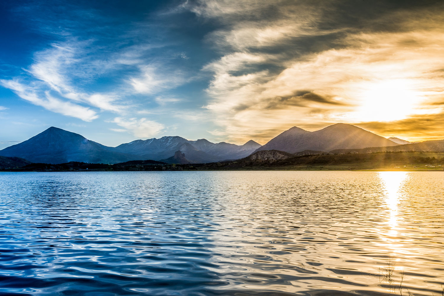
From spring through fall, lodging in Montrose puts you within minutes of some of Colorado’s prime scenic and recreational attractions.
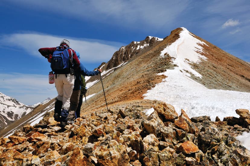
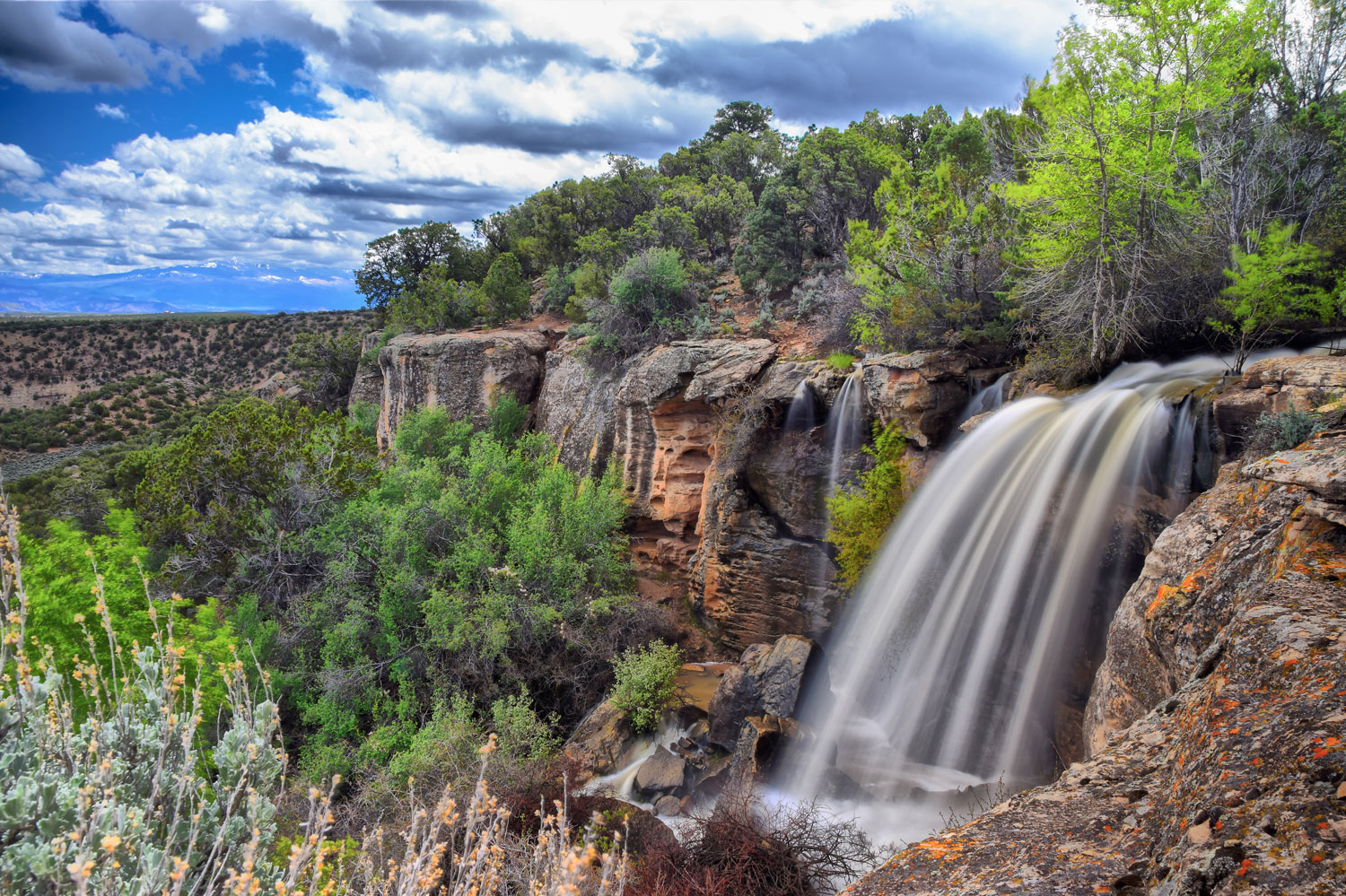
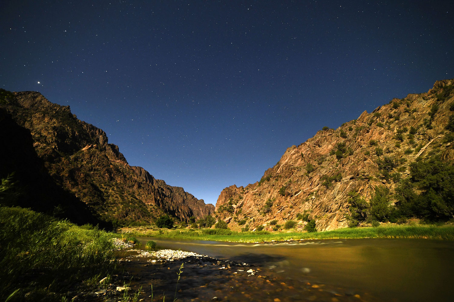
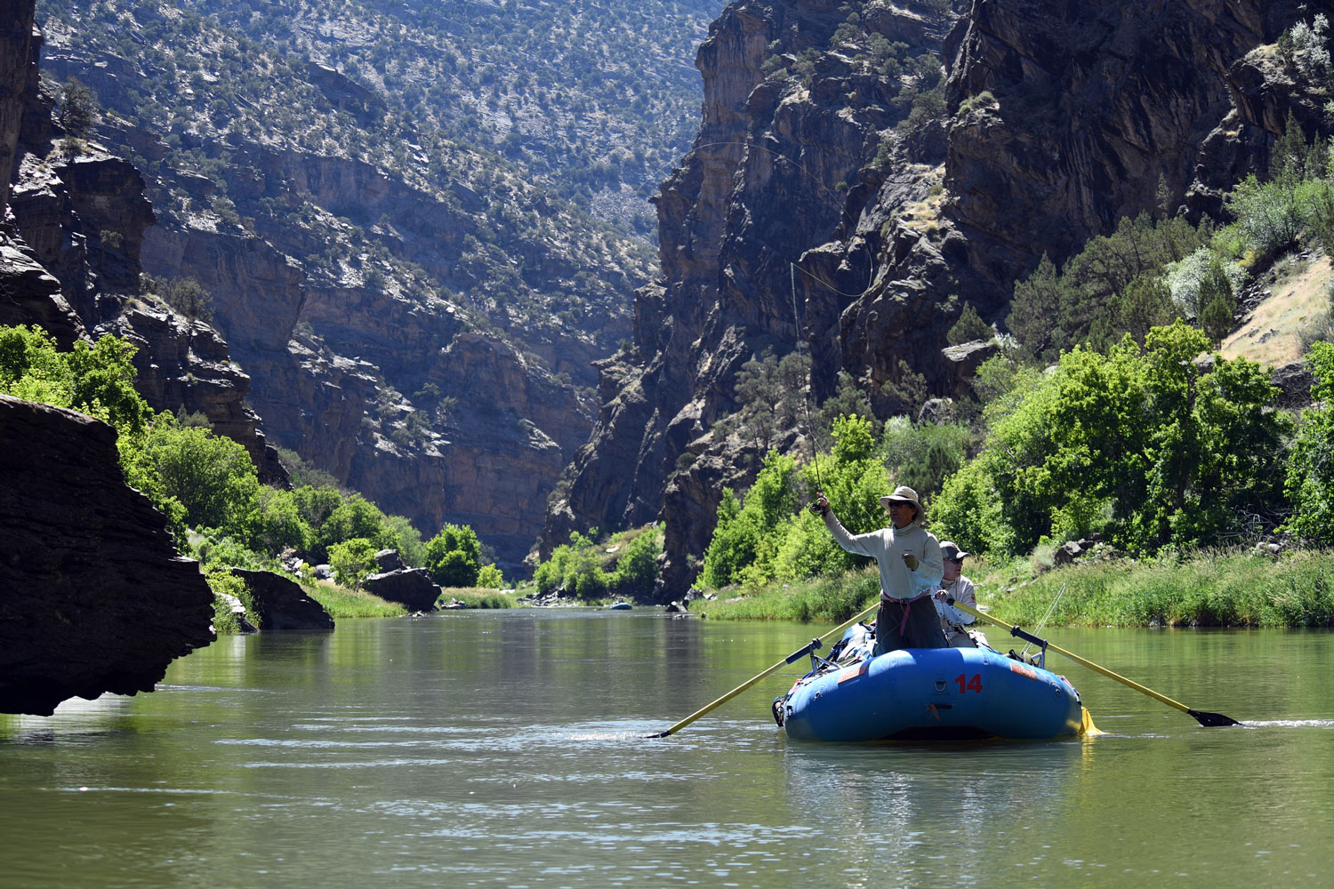
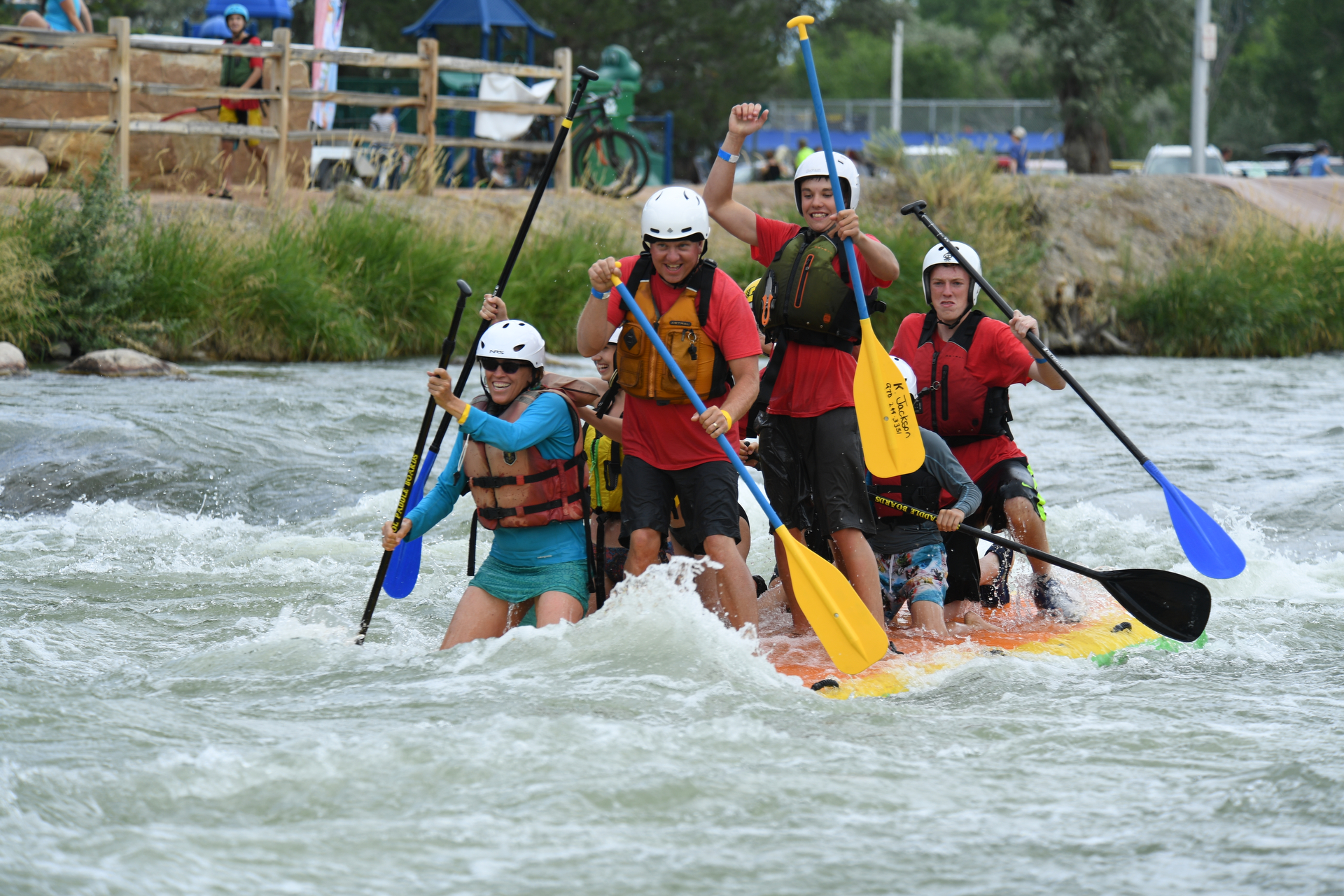
Black Canyon of the Gunnison National Park, the crown jewel of all Montrose attractions, combines spectacular views with a satisfying menu of activities ranging from hiking to adrenaline-pumping rock climbing. The Gunnison Gorge National Conservation Area features one-of-a-kind rafting and fishing adventures in Gold Medal waters. Enjoy camping and hiking among the forests, streams and majestic peaks of the San Juan Mountains.
Off-road enthusiasts will find terrain ranging from the wide open spaces of the adobe badlands managed by the Bureau of Land Management to alpine trails above 12,000 feet — not to mention rock-crawling routes that are among the most challenging in the nation.
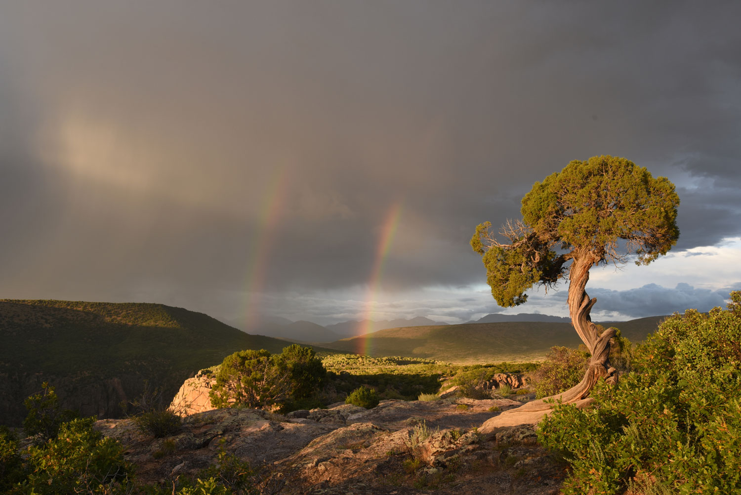
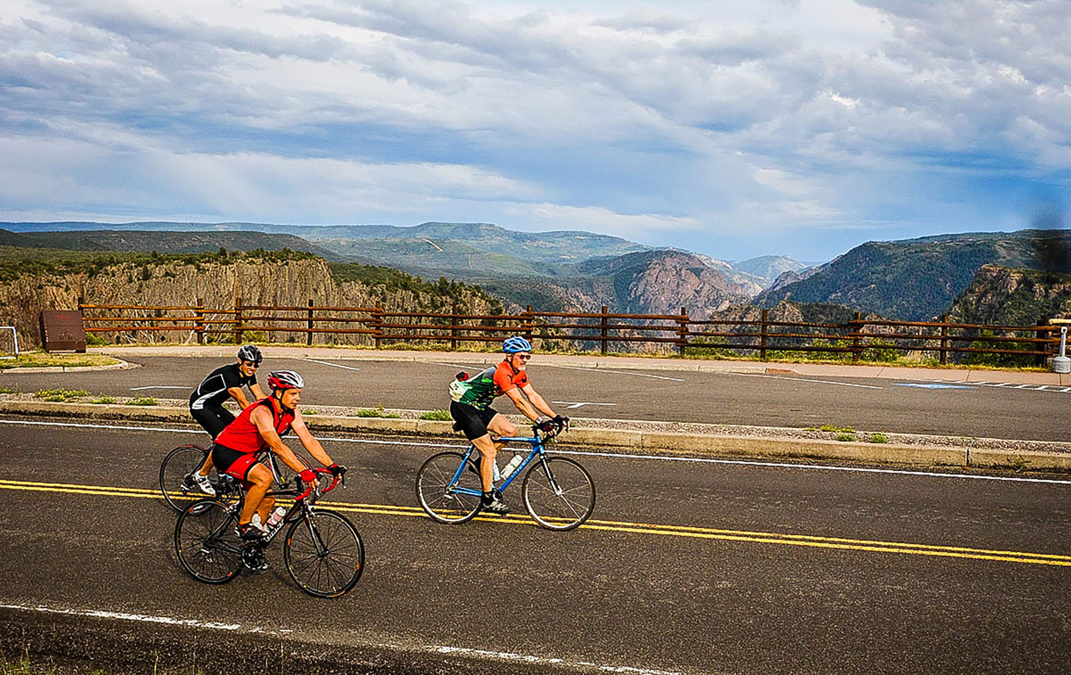
If you prefer to stay closer to the beaten path, choose from among one of six are designated scenic or historic byways to drive over 12,000-foot-high passes, giving your camera a workout on some awe-inspiring Colorado scenery.
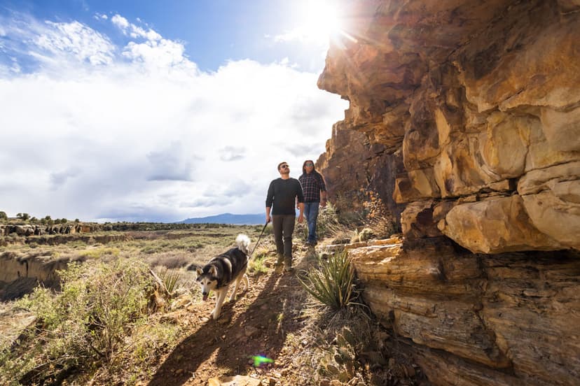
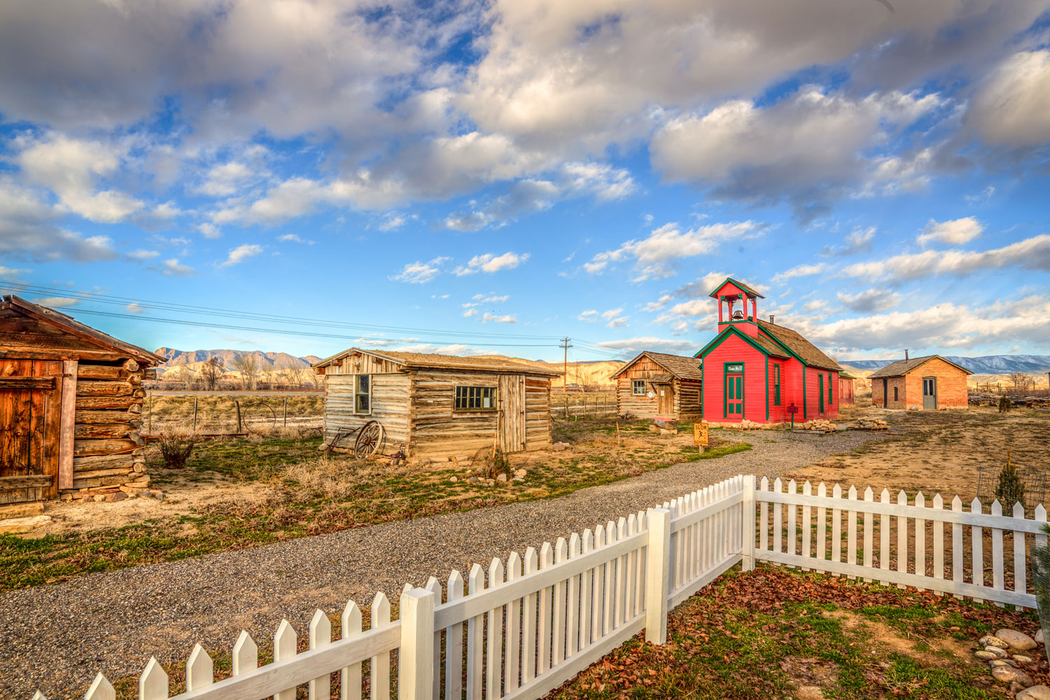
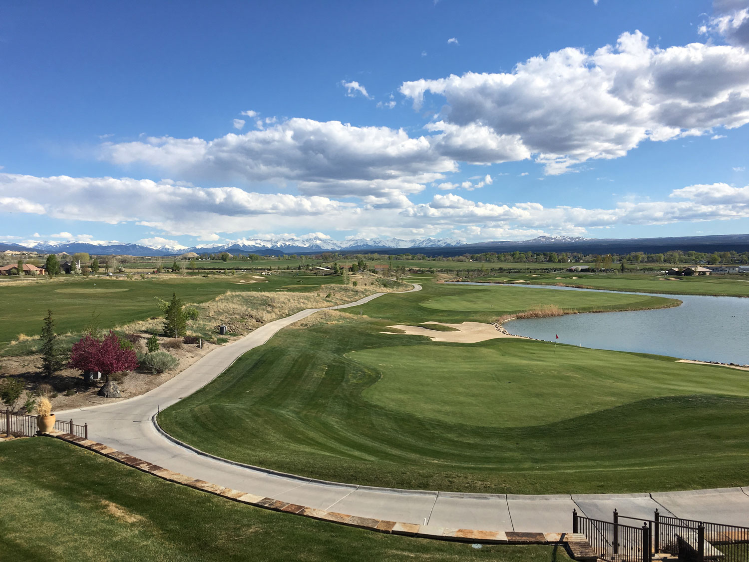
Back at base camp, find hidden treasures and one-of-a-kind treats in the shops, art galleries and restaurants along Main Street and around Montrose. Spend the day playing a round of golf at one of Montrose’s three 18-hole golf courses, or learn about Western Colorado and Ute Indian history at three local museums: Ute Indian Museum, Museum of the Mountain West and Montrose County Historical Museum.
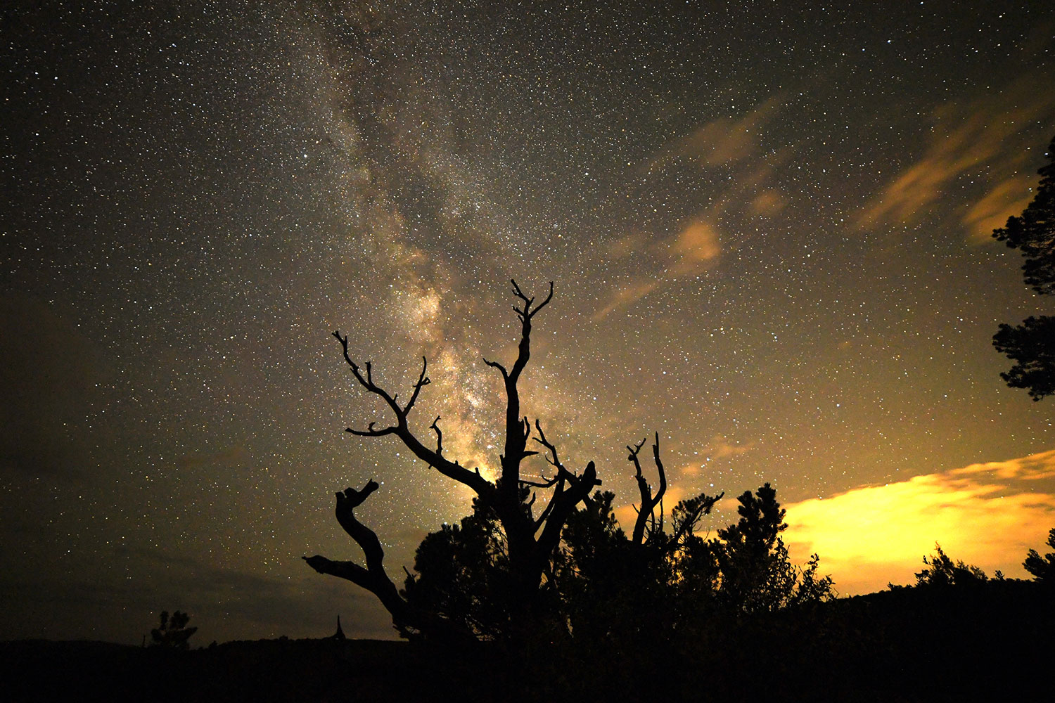
In winter, Montrose is a familiar waypoint for skiers making their way to the winter wonderlands of Telluride Ski Resort, located just 1.5 hours away from Montrose Regional Airport, and Crested Butte Mountain Resort 92 miles to the east. Or, stick around Montrose for snowshoeing at the Black Canyon of the Gunnison National Park, prime snowmobiling and Nordic terrain on the Uncompahgre Plateau and nearby Grand Mesa (largest flattop mountain in the world), and memorable day trips to cozy mountain towns like Ouray.
Sponsored