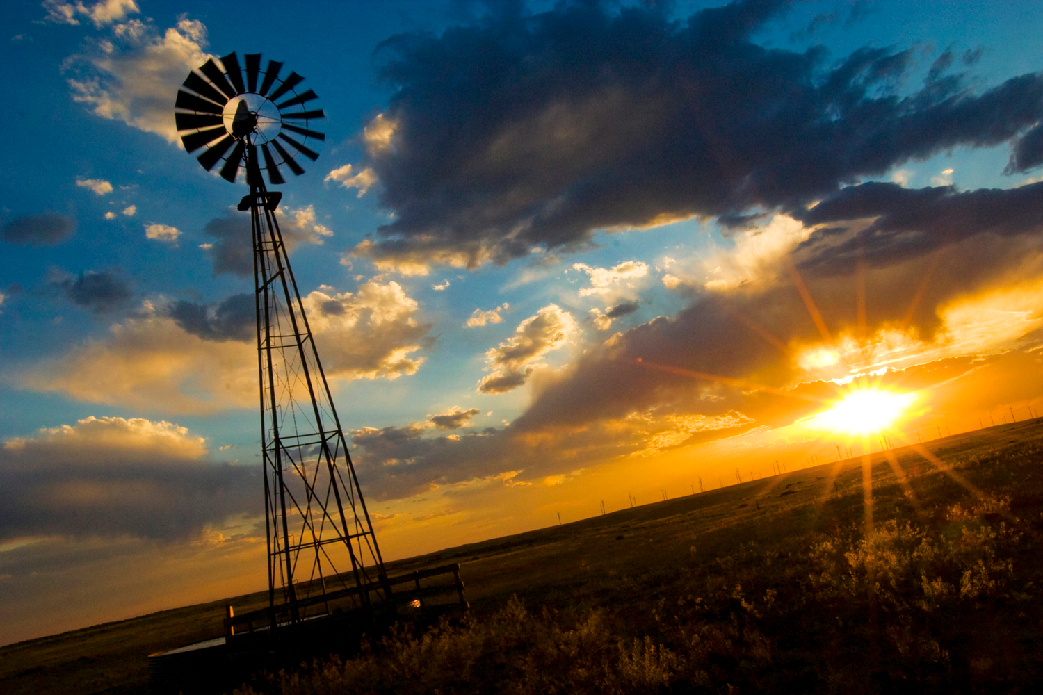
Northeast Colorado's Pawnee Pioneer Trails byway leads you through a fascinating prairie landscape. With the expansion of America into the West, explorers and settlers could hardly believe their eyes when looking upon the Great Plains.
Northeast Colorado's Pawnee Pioneer Trails byway leads you through a fascinating prairie landscape. With the expansion of America into the West, explorers and settlers could hardly believe their eyes when looking upon the Great Plains.

What they saw were buffalo, antelope, deer and even bears, roaming the grasslands for as far as the eye could see.
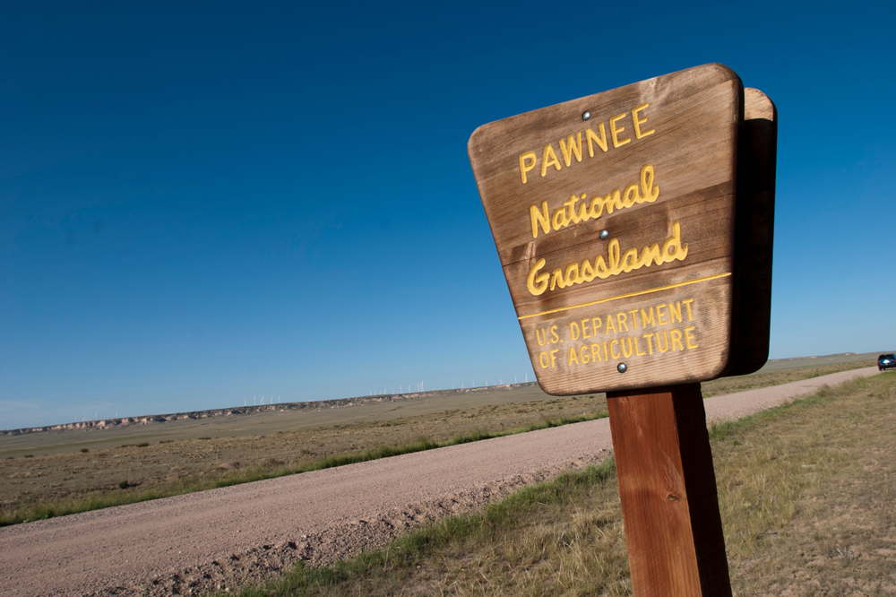
Begin your road trip in the town of Ault, just north of Greeley, and head east toward Briggsdale and the Pawnee National Grassland along Highway 14. This is a dry and hardy stretch of plains, which is the result of a rain shadow, an area where rain ceases to fall because passing moisture has been wrung out of the clouds by the Rockies to the west. But “dry” doesn’t mean “desolate.” In springtime, delicate wildflowers bloom across the grassland.
Stretch your legs as you explore native prairie and spy avian species — like mountain plovers, skylarks and burrowing owls — along the Pawnee Trail, part of the Colorado Birding Trail network. Located in the Pawnee National Grassland, this area has changed little over the last two centuries.
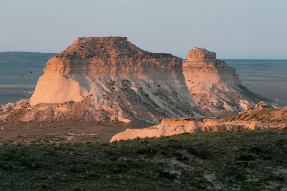
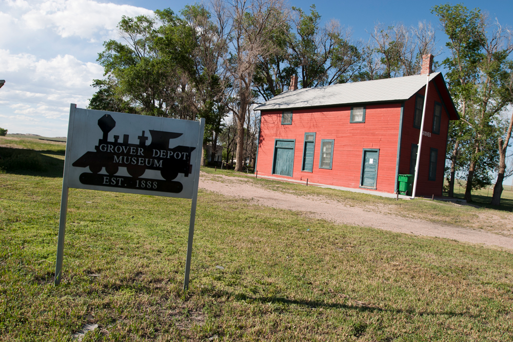
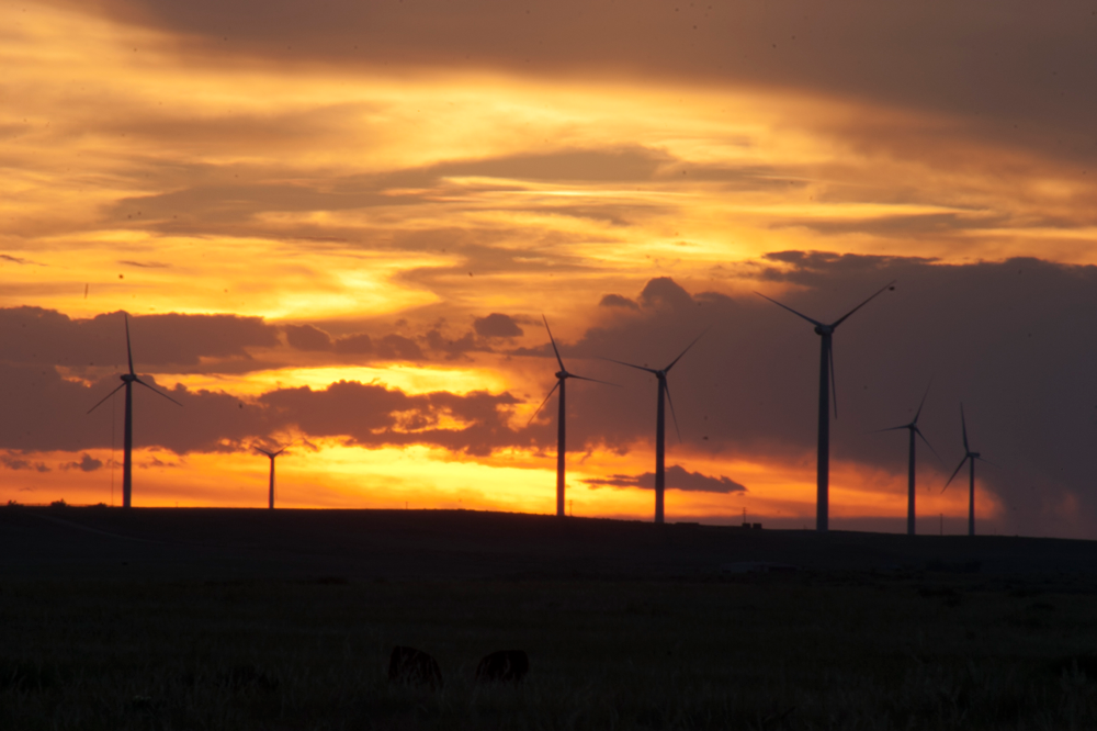
Departing from Briggsdale heading north, the route leaves Highway 14 and wanders to Grover before arriving at Pawnee Buttes, two fortress-like mesas that rise seemingly at random from level land. Embrace Colorado history with a stop at Grover Depot Museum. Then continue on to Pawnee Buttes Trailhead, which will lead you to the geologic wonders via a 1.5-mile hike. At 250 feet tall, their appearance on the horizon may seem startling. Photographers will delight in the area’s beautiful shadows at dawn and dusk.
From Pawnee Buttes, the route dips south to Fort Morgan via the small town of Raymer and Highway 52. Known as a charming agricultural town where big-band leader Glenn Miller went to high school, you can learn about him and other local history at the Fort Morgan Museum. Visit Sherman Street National Historic District to view original town buildings, including four Victorian mansions, or tour Riverside Cemetery by foot.
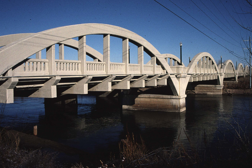
Lastly, head back up to Highway 14 and east to Sterling along the South Platte River. Sterling is the largest town in this corner of the state, and the old Overland Trail — a spur of the Oregon Trail that brought miners to the Rockies seeking fortune — passes through. Plan a stop at Overland Trail Museum for stories of early pioneers before heading to Simkins Parlour for an ice-cream treat. Take a self-guided tour of the town’s charming main street, seeking out its murals and the Bradford Rhea Tree Sculptures.
Events on the calendar: Fort Morgan’s Glenn Miller Swing Festival, Sugar Beet Days Festival and Logan County Fair & Rodeo in Sterling

Just 20 minutes south of Ault, explore Greeley — a Colorado agricultural hub — along with Greeley Creative District’s First Friday art walks.

Not far from Fort Morgan, Brush — an Official Colorado Main Street community — boasts nearby boating, fishing and bike trails, along with an annual summer rodeo.

Just 40 minutes from Fort Morgan, extend your byway exploration with an overnight stay at Jackson Lake State Park. The park is enjoyed for its reservoir access, 240 developed campsites and sandy beaches.