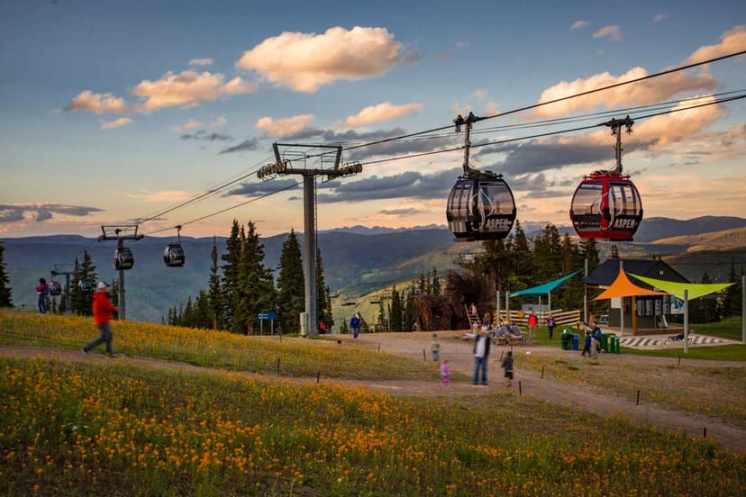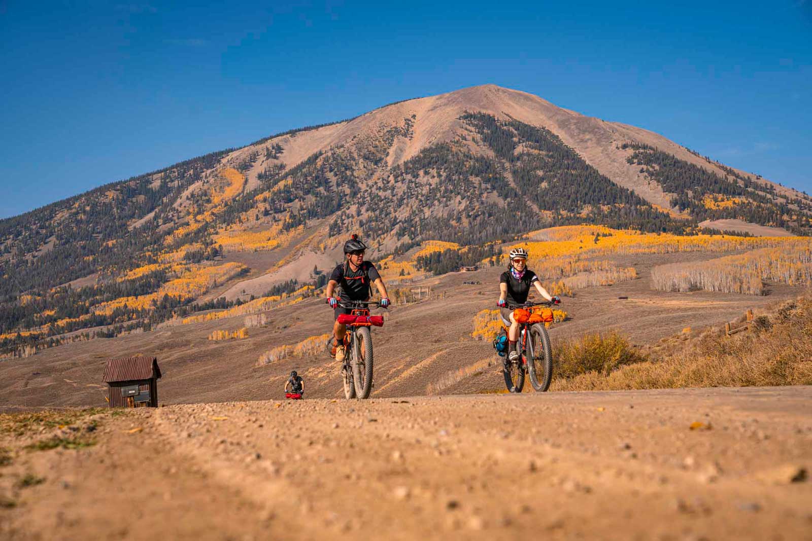
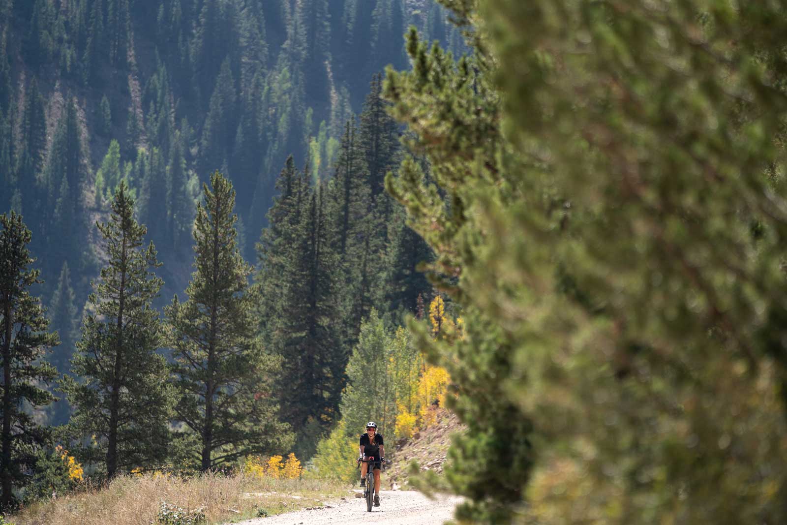
It’s a unique way to explore the area while feasting your eyes on the gold, orange and red aspen leaves that only come around once a year. Cooler temperatures and less sunlight usher in colorful foliage in the Western Slope’s aspen groves during September and October.
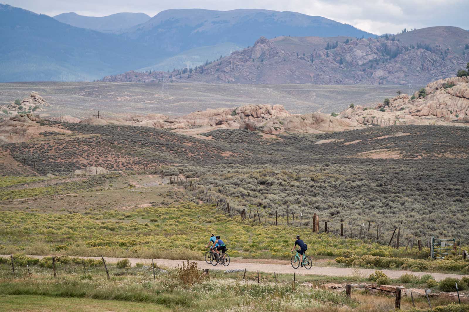
With more than 1,100 miles of gravel roads to explore in the Gunnison Valley, we’ve narrowed it down to a few of the best fall rides. Learn more about routes, pit stops and more travel tips below.
Where to Stay for a Fall Gravel-Biking Trip
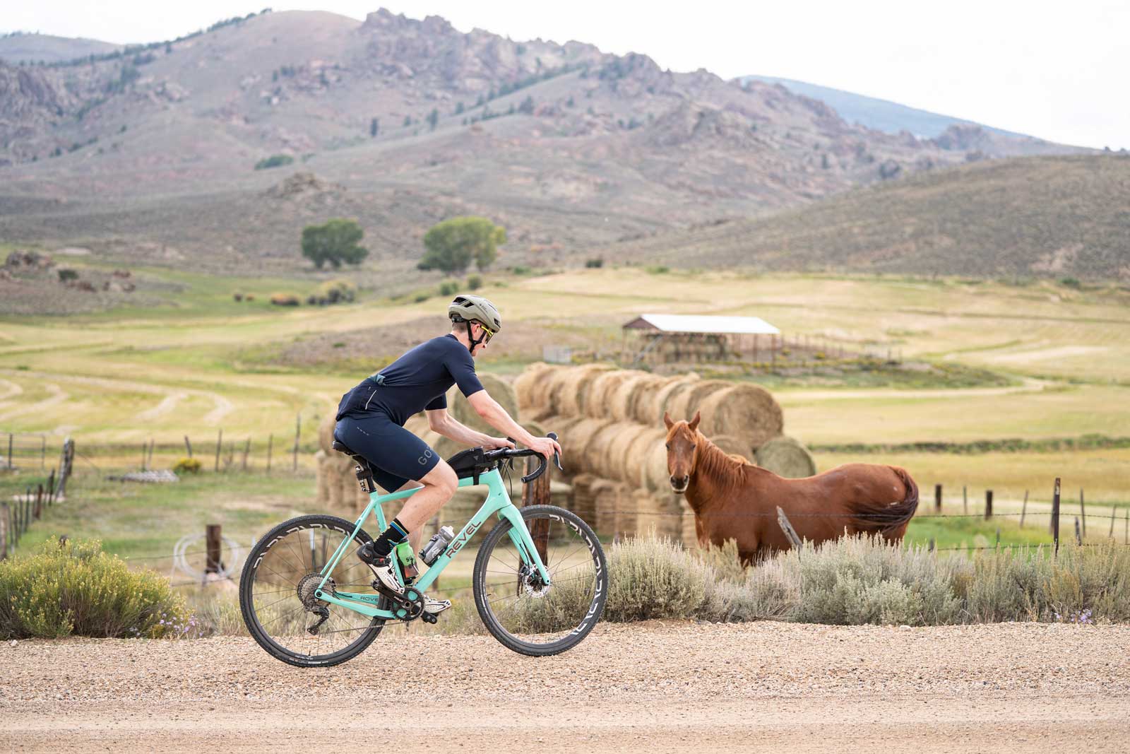
The easygoing college town of Gunnison is the hub of gravel biking in the Gunnison Valley. Gunnison provides convenient, affordable lodging close to the roads you want to explore. Fall weather in Gunnison is usually sunny and warm, with highs in the 60s and 70s.
Fall Gravel-Biking Routes & Zones
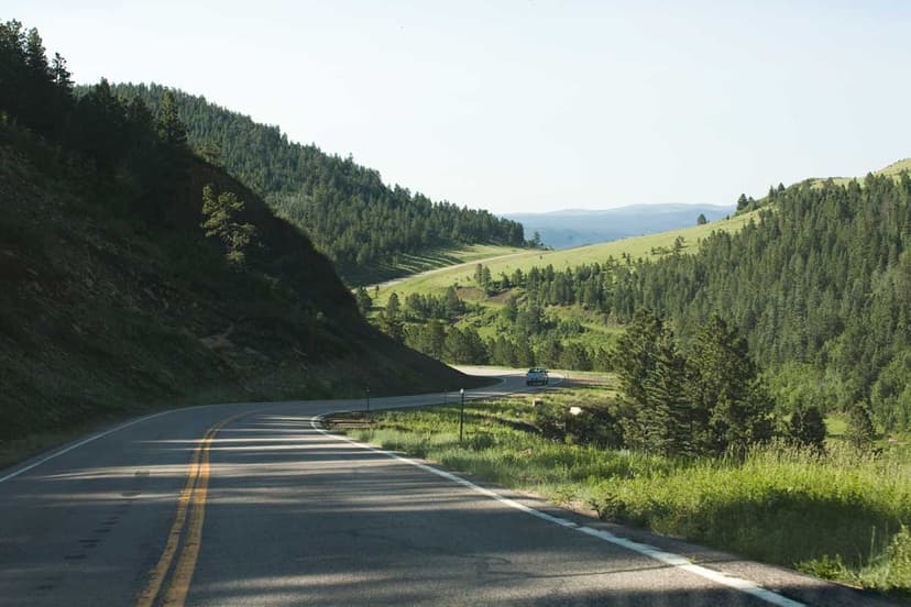
Vast swaths of Gunnison National Forest surround Gunnison. Most of the bike routes listed below are on Forest Service roads. It just takes a few minutes of pedaling from town to become surrounded with the natural beauty of public lands.
Ohio Pass Road
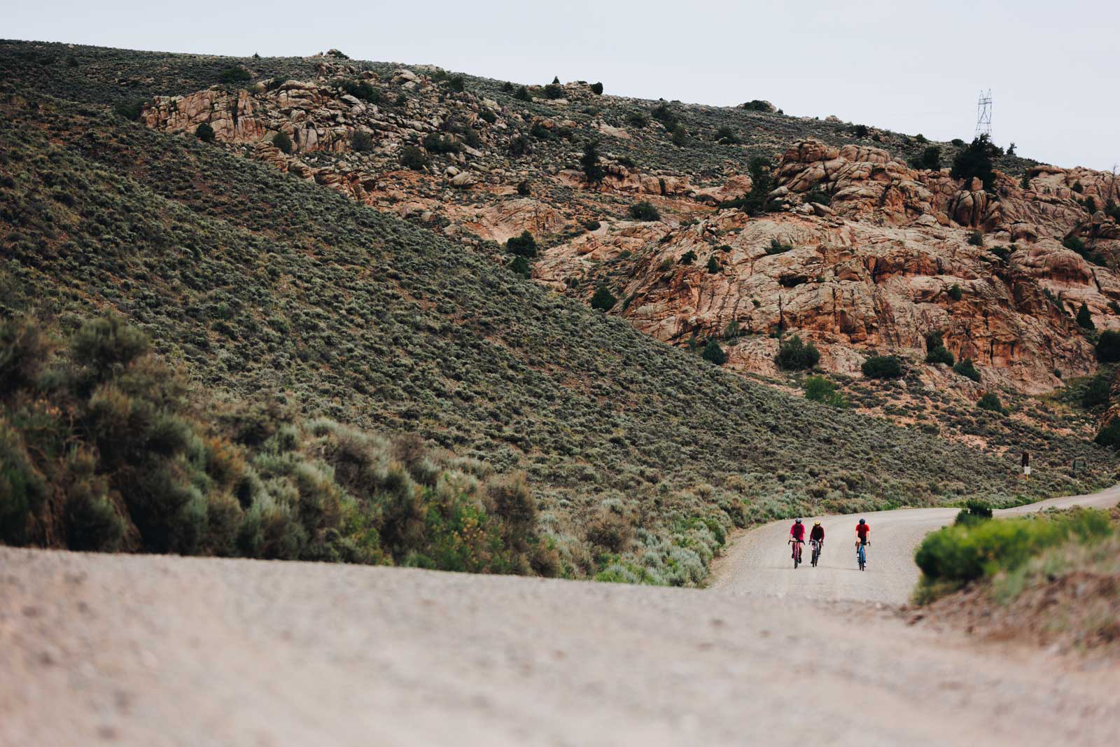
Ohio Pass Road (Gunnison County Road 730) is a 23-mile dirt road that runs parallel to Hwy. 135. It’s a scenic route linking Gunnison to Kebler Pass Road. Some of the road is paved, but most of it is chunky dirt. From downtown Gunnison, head north up Hwy. 135 for about 3 miles. Turn left (west) onto Ohio Pass Road, clearly marked with a brown sign. From here, cattle ranches and sprawling homesteads give way to Gunnison National Forest land. The spiny Castles rock formation peeks above the hills on the west side of the road. Continuing north, the road climbs steadily. Red Mountain, Carbon Peak and Mount Axtell tower over the east side of the road. The Anthracite Range provides a stunning scene to the west just before Ohio Pass Road terminates at Kebler Pass Road.
To create a 51-mile loop, turn right onto Kebler Pass Road and ride 7 miles into Crested Butte. Grab a smoothie at The Daily Dose or a bowl of chili at Public House before following Hwy. 135 south for 28 miles back to Gunnison. Alternatively, turn around at the intersection with Kebler Pass and ride back on Ohio Pass Road.
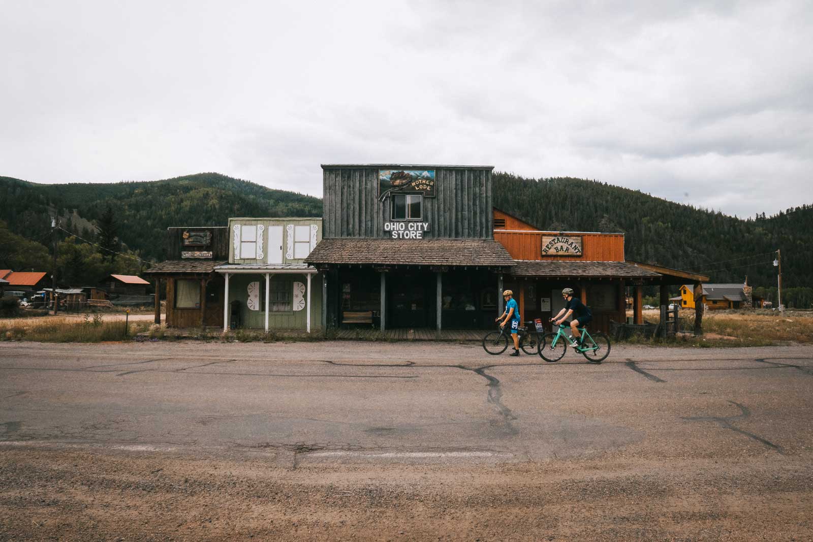
Pitkin
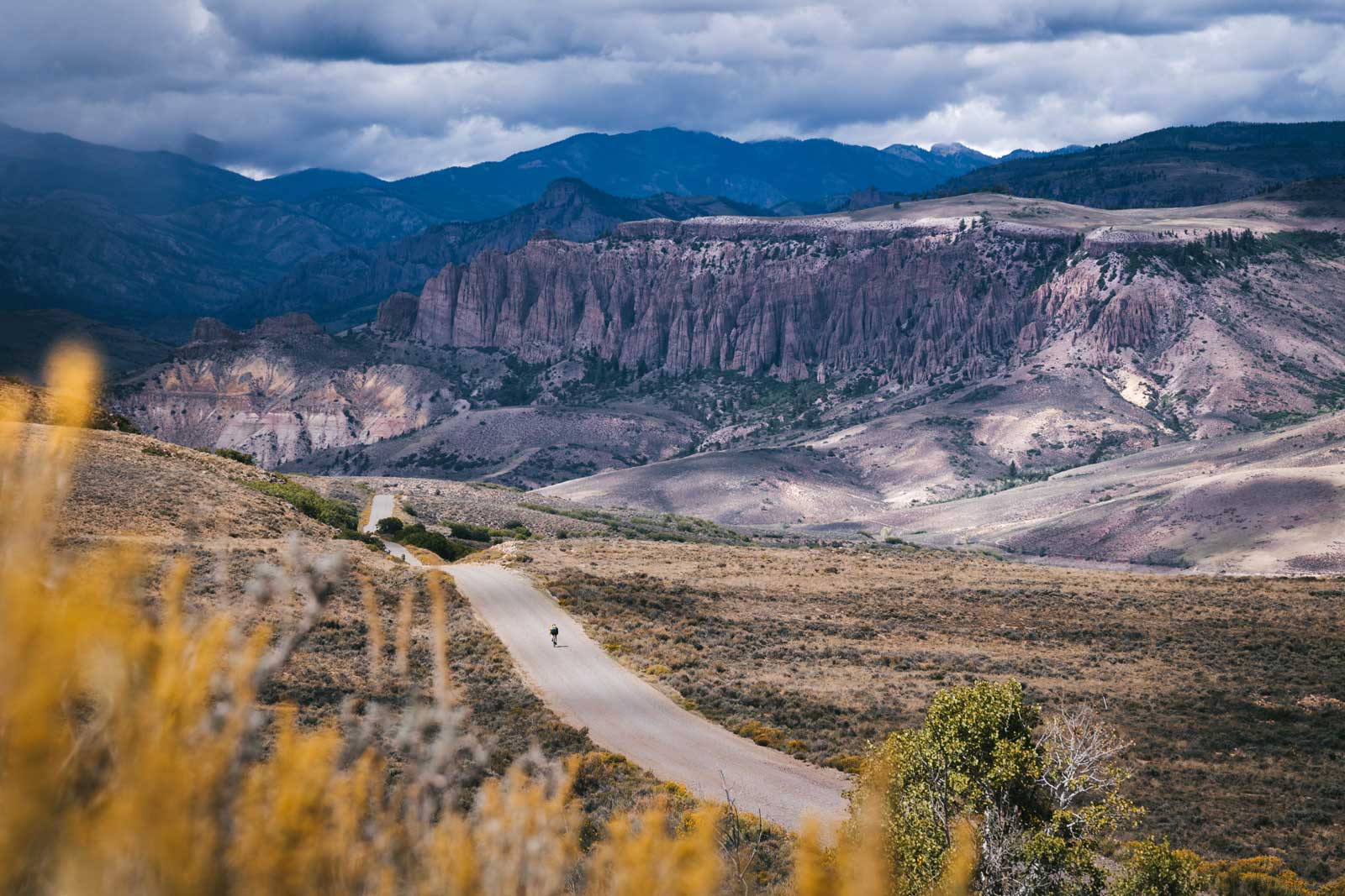
ATV enthusiasts may already be familiar with Pitkin for its high-altitude gravel roads. This same system of roads provides the perfect canvas for planning gravel-biking routes. For a 48-mile loop, begin by riding north out of Pitkin on County Road 765. Stop at the top of Cumberland Pass to revel in the views of the surrounding peaks and changing foliage. Just over 16 miles from Pitkin is Tincup, a tiny ghost town featuring historical buildings and even more rugged Colorado scenery. Follow County Road 267 around pretty Mirror Lake for about 14 miles. Explore the interpretive area at the west end of the Alpine Tunnel, a former railroad tunnel from the 1880s. Follow Forest Service Road 839 for 18 miles back to Pitkin.
Cap off the ride with a hearty plate of pasta at the Bon-Ton Restaurant or a cold drink at the Stumbling Moose. With Forest Service roads fanning out in every direction from town, Pitkin is another convenient option for a gravel-biking base camp. Stay in a historical hotel or homey cabin, and pedal right out your door.
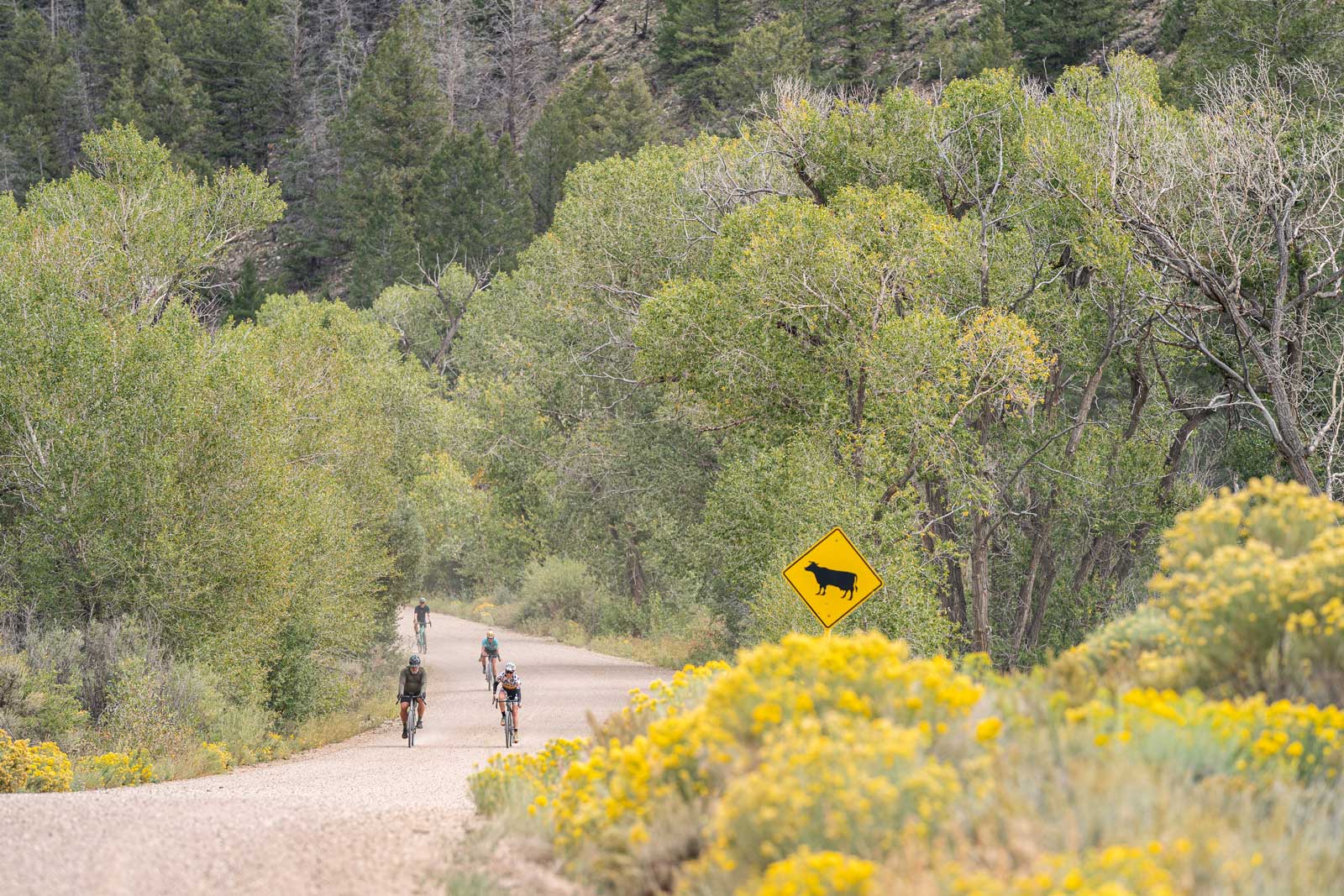
Lost Canyon & County Road 10
The same easy access that hunters enjoy in Lost Canyon provides excellent gravel-biking opportunities. This aspen-covered area between Almont and Gunnison is a beautiful zone to explore on a gravel bike, especially during fall. Lost Canyon Road begins on the east side of the Hwy. 135 frontage road just north of Gunnison. For a few miles, Lost Canyon Road and County Road 10 are one and the same. At Cranor Hill Ski Area, the road forks, with County Road 10 extending north and Lost Canyon Road (County Road 743) running east. For an easy, paved loop, follow County Road 10 for 6 miles north from the fork. The road ends at Hwy. 135. Take the highway south back into Gunnison.
For a more challenging ride, follow Lost Canyon Road as far as your legs allow. Parts of the road become quite steep. Over the course of the 20-mile journey from Gunnison, the road curves northwest and ends in the little town of Almont. Tuck into a sandwich, a salad or some Hyside Fries at the Three Rivers Smokehouse before heading south back to Gunnison via the highway or back the way you came.
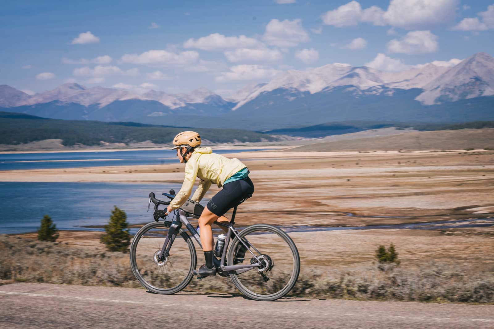
Taylor Canyon
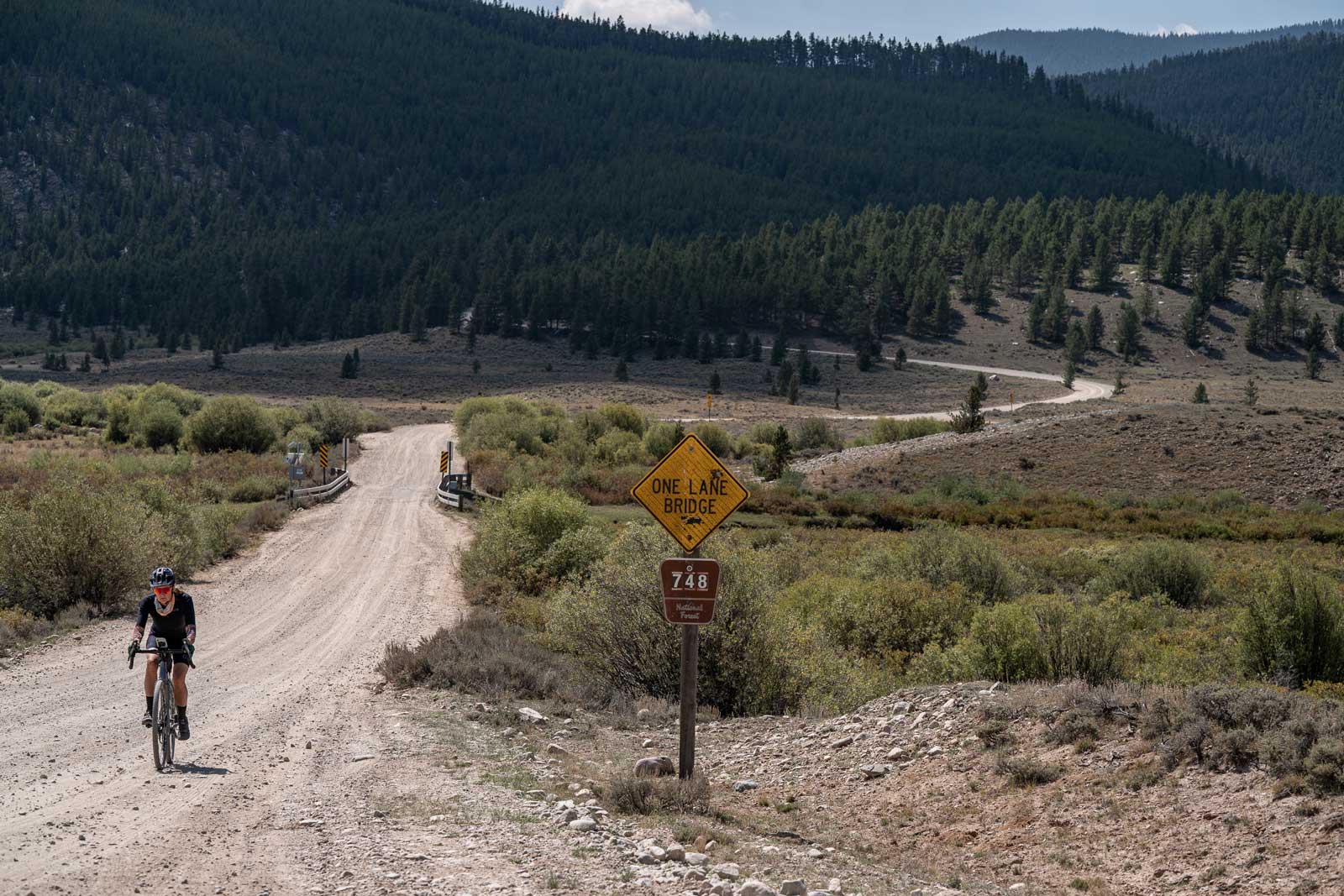
Taylor Canyon provides several mixed-surface cycling routes. It’s an ideal spot to enjoy the multicolored aspen leaves in September and October. Wildlife flourish in this area, with frequent appearances from bighorn sheep, moose and bears. Most rides in Taylor Canyon will begin in Almont, at the intersection of the Taylor Canyon Road and Hwy. 135. The Taylor Canyon Road, which is paved, extends 22 miles east to Taylor Reservoir. The lake is framed by the Collegiate Peaks and offers a stunning view while you catch your breath at the top of this steep climb. Fit, adventurous riders can continue beyond to Cottonwood Pass (also paved) or hop on County Road 765 to Tincup.
For less mileage, ride counterclockwise around Taylor Reservoir via County Road 742 and 748 to Spring Creek Road. Then ride downhill on Taylor Canyon Road back into Almont. You’ll probably be ready to tuck in to a big meal at the Almont Resort.
Colorado Gravel-Biking Tips
Gravel-Biking Season
When is the best time to go gravel biking in Colorado? In the Gunnison Valley, the season can start as early as March, depending on how quickly the snow melts. The gravel-biking season extends into late fall. In a low-snow year, it’s not unheard of to ride well into November. Less snow and lower altitude makes Gunnison’s gravel-biking season longer than Crested Butte’s.
What to Bring
Weather changes quickly during fall in the mountains. Bring warm layers and sunscreen for protection against the elements. Especially for longer rides, fuel is crucial. Pack plenty of snacks and water. A map app or cycling computer helps with wayfinding, especially in remote areas with patchy cell service.
Peak Leaf Color
When do the aspen leaves change color in Colorado? The answer is different every year. The first yellow leaves can usually be spotted in early September. The shift occurs over the next two months, usually peaking in late September or early October. Trees at higher elevation change earlier than those on the valley floor. Wind, rain and snow can speed up the process.