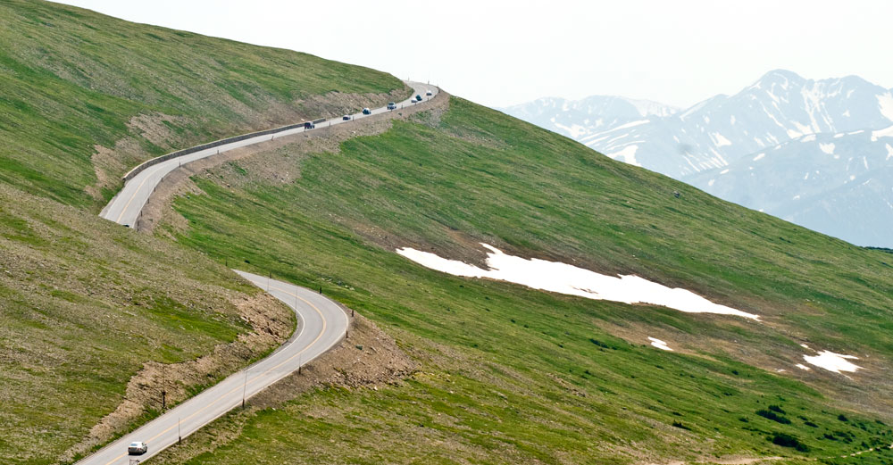
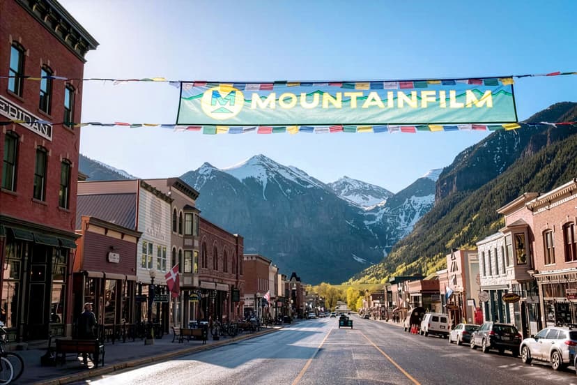
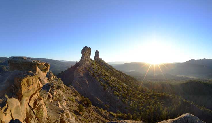
But when these routes do clear, usually by late May, it’s the best time to see areas alive with wildflowers, creeks flowing with all that snowmelt and incredible mountain vistas. Before heading out, be sure to check that conditions along these spectacular routes are good for a drive.
Trail Ridge (U.S. 34)
This road through Rocky Mountain National Park is the highest continuous auto road in the country. It’s truly an all-American icon — the road itself is listed on the National Register of Historic Places. Along 48 meandering miles, you can catch views of glacier-carved valleys, daunting peak summits and distant crystalline lakes — and cross the Continental Divide. Note: Timed-entry reservations are required to enter Rocky Mountain National Park from May to October.
Conditions: nps.gov or 970-586-1222
Independence Pass (CO 82)
With a summit at 12,095 feet, the pass connects Twin Lakes and Aspen during the summer months. Known for its expansive views, more fourteeners (peaks that stand more than 14,000 feet above sea level) can be seen from this spot than any other place in the state, including three of the five tallest: La Plata Peak, Mount Massive and the tallest, Mount Elbert.
Conditions: cotrip.org
Mount Blue Sky (CO 5)
Note: Mount Blue Sky Scenic Byway will be closed for improvements through 2025. More info.
The highest paved road in North America leads to the summit of Mount Blue Sky (formerly Mount Evans). Just off I-70 near Idaho Springs, the road climbs up to 14,266 feet above sea level. At the top, turquoise-hued lakes, towering granite walls and stands of ancient bristlecone pine paint a beautiful picture. But the real draw of Mount Blue Sky scenic byway is the mountain goats and bighorn sheep that can often be found scampering around this alpine paradise. Note: Timed-entry reservations must be made online to drive the Mount Blue Sky byway.
Conditions: cotrip.org
Kebler Pass (C.R. 12)
This gravel road linking Crested Butte and Aspen follows Coal Creek and traverses numerous meadows saturated with wildflowers; in fall, countless aspen groves blaze with various hues of gold. Part of the West Elk Loop scenic and historic byway, the road passes by old mining camps and through the mountain towns of Redstone and Carbondale.
Conditions: cotrip.org
Boreas Pass (Forest Road 33)
Once a Ute Indian trail, then a narrow-gauge railroad pass linking Denver and Leadville during the 1880s silver boom, Boreas Pass is now an outlet to popular hiking and biking trails. An abandoned section house, cabins and railroad relics are reminders of its railroad past. Access to this gravel route can be found just south of Breckenridge.
Conditions: 719-836-2031
Cottonwood Pass (Chaffee C.R. 306/Gunnison C.R. 209)
Heading down Cottonwood Pass Road west of Buena Vista, two behemoth 14,000-foot peaks, Mount Princeton and Mount Yale, tower around you. As you pass beneath the two majestic giants, part of the Collegiate Peaks range, you’ll enter one of Colorado’s most aspen-laden valleys.
Conditions: cotrip.org
Other Scenic Passes
Many of Colorado’s other beautiful mountain passes stay open and plowed year-round, weather permitting. They should also be on any scenic-drive checklist when they’re decked out in spring’s finery.
Monarch Pass (U.S. 50)
Connecting the towns of Salida and Poncha Springs with Gunnison, the pass crosses over the Continental Divide through the rugged Sawatch Range.
Conditions: cotrip.org
Kenosha Pass (U.S. 285)
Known as one of the Colorado Trail’s easiest access points, the pass is also a favorite for its views into the sprawling, green South Park Valley near Fairplay.
Conditions: cotrip.org
Pikes Peak Highway
This 19-mile scenic highway to the summit of Pikes Peak winds through an alpine wonderland near Colorado Springs. Find things to do at Pikes Peak.
Conditions: Visitors who want to drive to the summit park in the top lot from May–September will be required to make an online reservation.
Guanella Pass (C.R. 381)
Bighorn sheep, golden eagles and the occasional mountain goat can all be seen on the jaunt up this paved pass from Georgetown to Grant.
Conditions: cotrip.org
Wolf Creek Pass (U.S. 160)
Running along the Continental Divide, this gradually winding mountain road north of Pagosa Springs opens to a green valley dotted with little lakes.
Conditions: cotrip.org
Cameron Pass (CO Hwy. 14)
This route offers views into the wildlife-rich basin of North Park, which has changed little in the 120-plus years since the nearby town of Walden was established.
Conditions: cotrip.org
Shrine Pass (Forest Road 709)
In summer, this route near Vail dips drivers into meadow after meadow blanketed with wildflowers.
Conditions: 970-827-5715
Cuchara Pass (CO 12)
Below the pass along the Highway of Legends scenic and historic byway is the glorious Cuchara River Valley near La Veta.
Conditions: 719-553-1400
Rabbit Ears Pass (U.S. Hwy. 40)
This pass near Steamboat Springs is the best place to view the extraordinary rock formation it’s named for. The Rabbit Ears served as a distinct landmark to settlers and trappers of yore.
Conditions: cotrip.org


