Here’s where to ride, region by region.
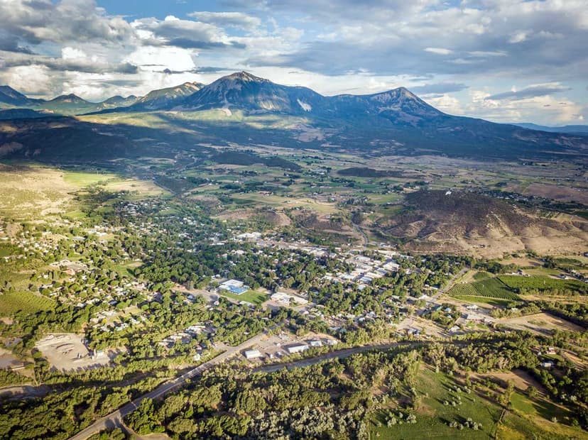
Western Slope
Where desert meets canyon and river-carved landscapes stretch for miles, creating long, uninterrupted gravel routes. Sandstone cliffs, sagebrush hills and wide views over the Colorado River Valley define the ride.
Easy: Hawkeye
Fruita
Starting and ending in downtown Fruita, this approachable out-and-back gravel path cuts through open desert as it follows the Colorado River. Throughout the 21.4-mile trail, bikers can take in uninterrupted desert scenery and the distant cliffs of the McInnis Canyons National Conservation Area. This easy ride offers gradual terrain and gentle surfaces that keep the focus on the experience rather than the effort.
Moderate: Dry Gulch Road Loop
Silt
Just west of Glenwood Springs near Silt, this 24-mile gravel trail is a gradual ascent through sagebrush hills, before opening to sweeping views of the Colorado River Valley. Meadows and forests add greenery along this rewarding loop with a steady mix of smooth stretches and rolling hills.
Difficult: Yampa Bench Road
Dinosaur
Carved into canyon walls above the Yampa River in Dinosaur National Monument, this rugged, unpaved road delivers dramatic desert scenery and a true sense of remoteness. The ride is 18 miles one way and rated difficult due to steep grades, loose surfaces and limited services. Make stops at several viewpoints and historic sites that reveal the significance of the area.
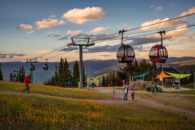
Rocky Mountains
High altitude, crisp air and iconic climbs define this region, with routes that consistently gain elevation and pass through alpine scenery. Picturesque lakes, forest roads and high passes shape the riding experience.
Easy: Mineral Belt Trail
Leadville
This loop circles Leadville on a wide, smooth crushed-gravel path with constant views of Colorado’s highest peaks – Mount Elbert and Mount Massive. At approximately 11.6 miles, it’s rated easy, though the elevation above 10,000 feet adds a unique challenge. Not only does this trail showcase fantastic scenery, it’s a great way to experience the mountain town’s rich mining heritage with interpretive signs and displays along the way.
Moderate: Boreas Pass Road
Breckenridge and Como
Following a historic railroad grade, this gravel route rises steadily from Breckenridge to Boreas Pass at the top of the Continental Divide before descending toward the mining and railroad town of Como. The full out-and-back is a moderately-rated 16 miles with gradual but sustained elevation gain. Expansive views of the Blue River Valley and the Ten Mile Range are highlights along the route, as well as aspen groves and remnants of Colorado’s railroad history.
Difficult: Mount Zirkel Wilderness Loop
Steamboat Springs
Skirting the edges of the Mount Zirkel Wilderness, this remote loop weaves through Routt National Forest on rugged gravel roads. At 153 miles in length, it’s a strenuous challenge of endurance through long climbs and elevation gain. But the reward will stick with you for a lifetime – dense forests, high mountain meadows and long stretches of quiet in this iconic backcountry make it a bucket-list ride for many.
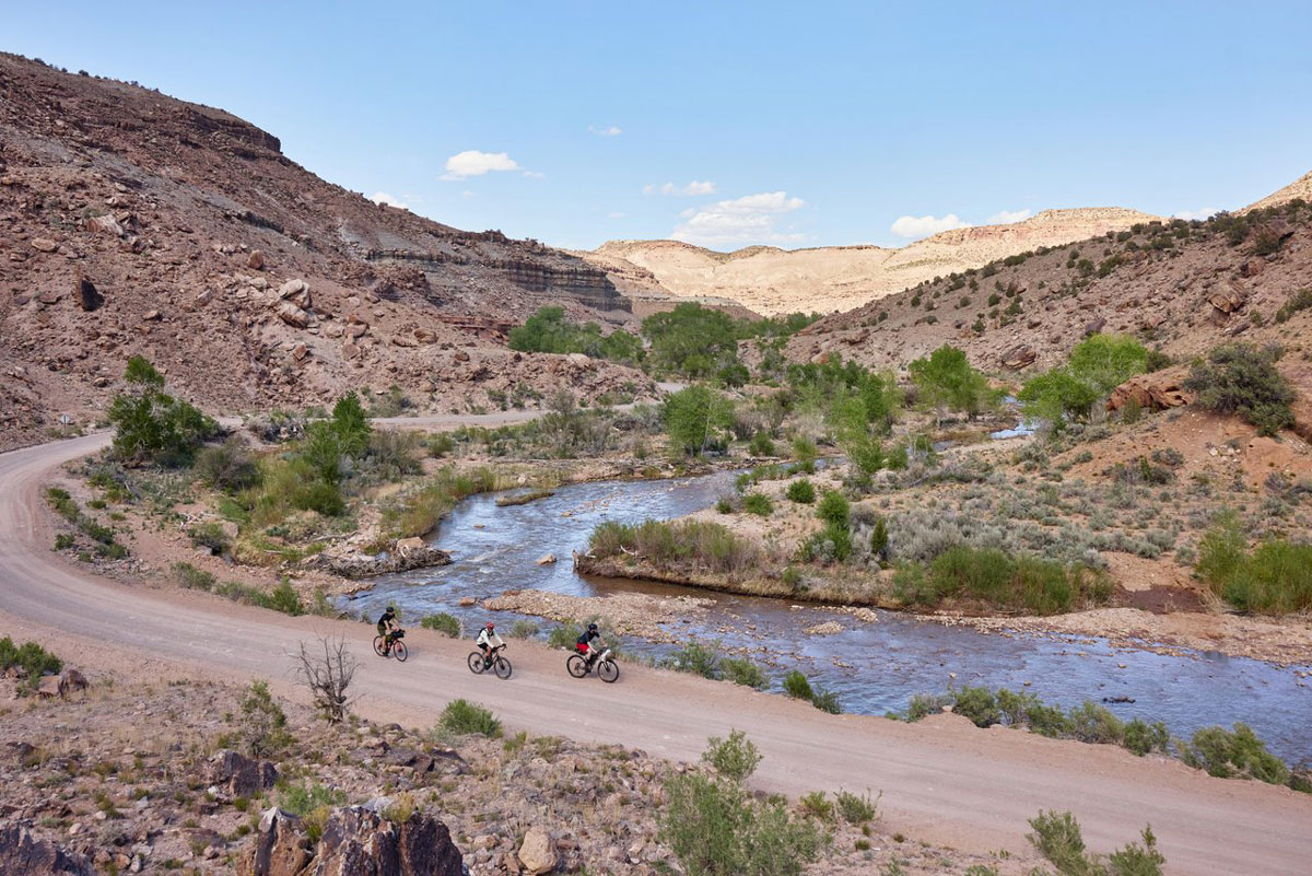
Southwest
Layered landscapes, cultural heritage and wide-open valleys blend history with adventure. In this region, gravel roads connect desert and mountain environments, offering long, open routes with views of red rock canyons, high desert terrain and towering peaks as their backdrops.
Easy: Animas River Trail
Durango
Gentle gravel segments follow along the Animas River as it winds its way through the town of Durango, offering a relaxed introduction to riding in the region. At 8.2 miles, this easy trail is perfect for any skill level, with flat and well-maintained paths. Soak in the river views, shady cottonwood trees and easy access to town amenities.
Moderate: Escalante Rim Loop
Delta
Following a mix of gravel and dirt roads along the rim above Escalante Canyon, this loop features striking views of the surrounding sandstone bluffs, desert plateaus and red rock landscape. Typically 20–35 miles depending on variation, its hilly terrain, exposure and occasional rough sections provide a moderate ride in the Dominguez-Escalante National Conservation Area.
Difficult: Rito Seco Loop
San Luis
Venture deeper into the Mystic San Luis Valley on this high-desert loop, navigating rougher, more remote roads for 36.4 miles. Starting in the town of San Luis, enjoy views of the Sangre de Cristo Mountains as the trail swiftly inclines to a shaded forest of aspen and pine. As you descend back down, valley views lay open below.
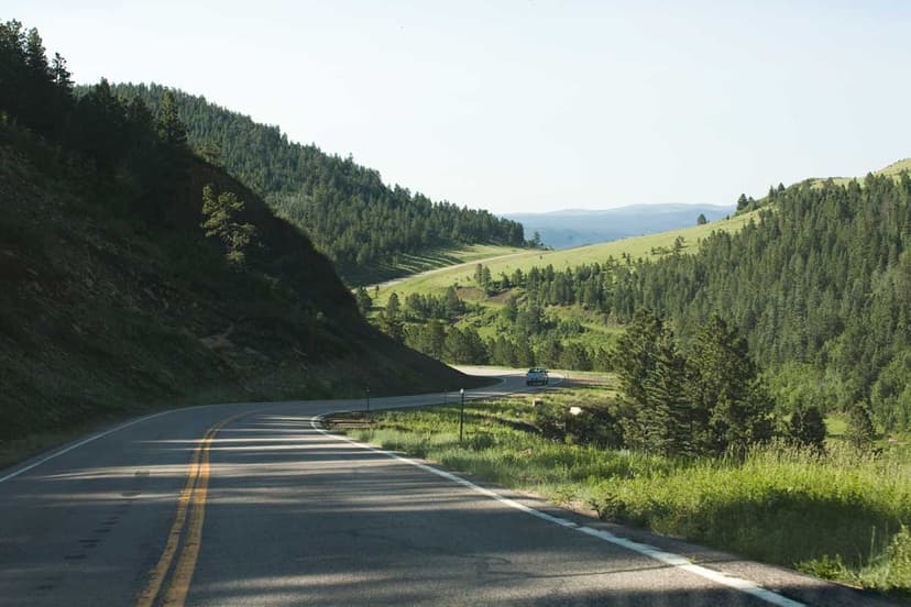
Front Range
Close to Colorado’s cities, but never far from adventure, this region offers accessible gravel routes with varied terrain. Foothills, canyons and rock formations create a mix of quick climbs and rolling sections to choose from.
Easy: South Boulder Groad
Boulder
A favorite among local riders, this mellow gravel route winds through open space south of Boulder for 30.3 miles with wide views of the Flatirons. Gentle grades and consistent surfaces make this an easy ride among a mix of cyclists and other trail users, so you can enjoy mountain backdrops at a relaxed pace.
Moderate: Lory State Park to Horsetooth Reservoir via Redstone Canyon
Fort Collins
This connected route links several gravel corridors across 50 miles of hilly inclines and varied terrain. Starting in Fort Collins, this trail moves west to the sprawling valleys and craggy hillsides of Lory State Park. Then take in the crystal blue waters of Horsetooth Reservoir and the vibrant cliffs of Red Rock Canyon before making your way back to town. Its proximity to the city as well as quieter stretches creates an experience that feels both accessible and adventurous.
Difficult: Garden of the Gods Gravel Loop
Colorado Springs
Pedal beyond the main roads of this iconic park and into the surrounding gravel network, where red rock formations rise dramatically against the Front Range for 64.3 miles. The short, punchy climbs and mixed surfaces make this a challenging, high-reward loop with the unforgettable scenery of the surrounding Pikes Peak region and America’s Mountain.
Eastern Plains
Space, sky and the freedom to roam come through in every mile, with flat to rolling roads and long distances between landmarks. Across the peaceful, spacious prairie, county roads, canyons and distant buttes helping orient the journey.
Easy: Red Shin Trail
Hasty
This short, approachable gravel route near John Martin Reservoir offers a relaxed ride through open grassland with views of the water and plenty of birding opportunities. Spanning just four miles with flat and minimal technical features, it’s an easy way to experience the quiet beauty of southeast Colorado.
Moderate: Pawnee Buttes Trail
Grover
This trail northeast of Grover leads bikers through rolling prairie toward the iconic Pawnee Buttes – twin 300-foot sedimentary rock formations towering over the Pawnee National Grassland. Along the 4.4-mile route, you’ll see distant rock formations dotting the wide-open landscape and expansive sky views.
Difficult: Picketwire Canyon Trail
La Junta
Traversing the Comanche National Grassland of southeast Colorado, this remote trail leads to numerous natural, archaeological and historical wonders. Sandy stretches, jagged surfaces and exposure to extreme heat pose a challenge on this 11.5-mile path. But the payoff is getting to explore over 1,400 Brontosaurus and Allosaurus footprints at the largest dinosaur tracksite in North America, Native American petroglyphs and several 19th-century ruins.